
Bitterly cold weather is expected to grip the UK over the weekend, with up to 10cm of snow already settled in some areas. Yellow weather warnings for snow and ice are in place, with the latest warnings extending into Monday. An amber snow warning for northern Scotland remains in effect until midday on Saturday, with forecasters warning of potential power cuts and stranded vehicles.
Travel disruption is anticipated as wintry weather moves south-eastwards over parts of England and Wales. A yellow warning for snow and ice is in place until midday on Friday for areas including London, Greater Manchester, and Cardiff. Meanwhile, a yellow warning for ice in south-west England runs until 10am. About 2cm of snow could fall in some areas, with up to 5cm on higher ground.
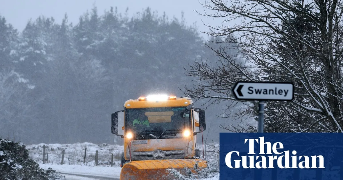
Heavy snowfall caused difficulties for motorists in the Highlands and north-east Scotland on New Year's Day. At Loch Glascarnoch in the Scottish Highlands, more than 8cm of snow was recorded on Friday morning, while Aboyne in Aberdeenshire had about 9cm. Forecasters warn there could be up to 20cm of snow on low ground and up to 40cm on higher ground in the amber warning areas.

Yellow warnings are now in place for parts of the UK, including much of Northern Ireland, until midday on Monday. The Met Office stated that heavy snow showers may merge to give longer spells of snow, with wind causing snowdrift and temporary blizzard conditions. The UK Health Security Agency has issued warnings across England until 10am on 6 January, noting a likely rise in deaths among those with health conditions or aged 65 or over.


