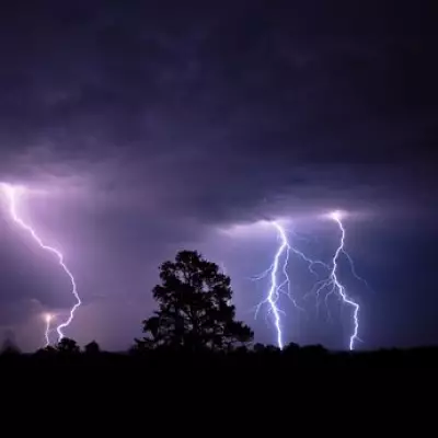
A major weather crisis is unfolding across Britain as Storm Goretti unleashes terrifying winds of up to 100mph, prompting the Met Office to issue a rare and severe red weather warning. The national forecaster has warned of an immediate "danger to life" from flying debris and structural damage.
Live Footage Captures the Onslaught
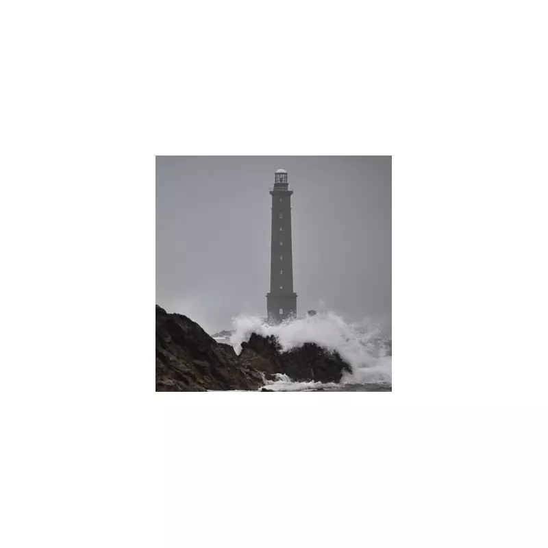
Incredible live webcam footage from coastal towns, including Looe, shows the storm's ferocious arrival. High waves are already pounding the south coast as the tempest moves in from the English Channel. The storm, named by Météo-France, has already battered northwest France and is now bringing its full force to UK shores.
The red warning for wind covers Cornwall and the Isles of Scilly and is active from 4pm until 11pm on Thursday, January 8, 2026. The Met Office states that winds will increase rapidly, with violent gusts potentially persisting for two to three hours.

Urgent Emergency Alerts Sound Across the Region
In an unprecedented move, the Cabinet Office has activated the national Emergency Alert system for the areas under the red warning. This marks only the fifth time the system has been used in this way.
A Cabinet Office spokesman confirmed: "The first alert was sent at approximately 3pm on Thursday to people in the Isles of Scilly. The second will be sent at around 5pm to people in Cornwall."
Every compatible mobile phone in the target zones will receive a message with safety guidance, accompanied by a loud siren-like sound and vibration lasting about 10 seconds, even if the device is on silent.
A Multi-Hazard Event Bringing Widespread Disruption
Met Office Chief Forecaster Neil Armstrong emphasised the severity of the situation, calling it a "complex spell of severe weather." While the south bears the brunt of the wind, the storm is also set to turn wintry elsewhere.
Heavy snow is forecast for Wales, the Midlands, and northern England overnight and into Friday morning. An amber warning for snow is in place, with widespread accumulations of 10-15cm likely and 20-30cm possible on higher ground in Wales and the Peak District, where roads have already been blocked.
Further Met Office warnings for rain, snow, and ice are active across many other parts of the UK tonight. Armstrong advised all residents in warning areas to stay updated with the latest forecasts and heed advice from local authorities as significant travel and infrastructure disruption is expected.