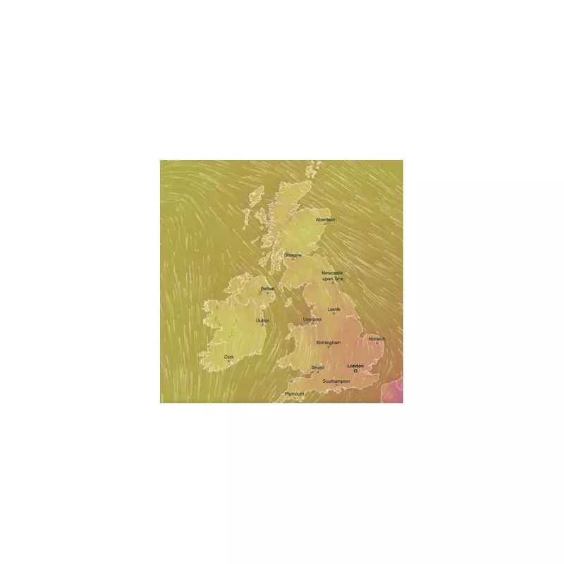
A surprising blast of Saharan warmth is poised to sweep across the UK this week, transforming the typical British spring into a temporary slice of summer. Thermometers are forecast to skyrocket, potentially reaching a sweltering 24°C in parts of the country.
The Sahara Connection
This unexpected warmth isn't homegrown. Meteorologists at the Met Office have identified its origins thousands of miles away. A large mass of hot air is currently making its way north from the Sahara Desert, riding winds that will carry it directly over the British Isles.
This phenomenon, known as a 'Saharan plume,' is set to deliver a dramatic temperature spike, making it feel more like mid-July than mid-April.
When and Where to Soak Up the Sun
The heatwave is expected to unfold in stages. The mercury will begin its climb on Tuesday, with the peak of the warmth anticipated between Wednesday and Friday.
While much of the country will enjoy the sunshine, the heat will be unevenly distributed. The south and southeast of England are predicted to be the nation's hotspot, likely being the first to touch that 24°C mark. Other regions will still experience significantly above-average temperatures for this time of year, making it a nationwide event.
A Brief Respite Before the Norm Returns
Unfortunately, this tropical interlude won't last. The Met Office's long-range forecasts suggest this is a temporary break from the more unsettled and cooler weather characteristic of April.
By the time the weekend arrives, conditions are expected to shift. The jet stream is predicted to push the hot air away, allowing more typical—and likely wetter—weather systems to move back in from the Atlantic, bringing temperatures back down to seasonal averages.
For now, however, Brits are being advised to make the most of the unexpected sunshine and dig out those sunglasses a few months early.


