
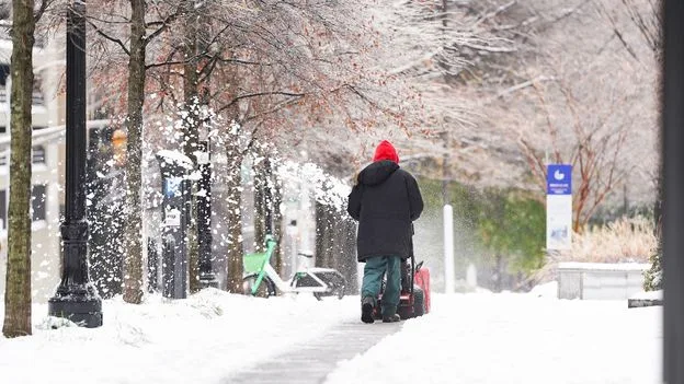
A dangerous winter storm is set to affect more than 160 million Americans, bringing intense snow and ice. The cold is expected to be life-threatening and will affect as much as two-thirds of the country, with cold weather lingering into February. The wintry weather has been fuelled by activity of the polar vortex slipping down to engulf large parts of the country.
The polar vortex is a ring of strong westerly winds that form between 10 and 30 miles above the North Pole every winter, enclosing a large pool of extremely cold air. When the vortex weakens, its pattern of winds changes from a circular ring to a wavy band that loops further south, unleashing cold weather normally retained at the pole further to the south.
Brett Anderson, senior meteorologist at AccuWeather, compares the cold outbreaks to 'a large chunk of ice that breaks off of a glacier and floats southward with the current – with the current being the jet stream winds.'

It is not known whether climate change will affect the polar vortex, says Amy Butler, an atmospheric scientist at the National Oceanic and Atmospheric Administration. 'There are many things that can change the strength of the polar vortex,' Butler says, including sea ice and warming in the upper atmosphere. 'Models show no agreement in what will happen to the Northern Hemisphere polar vortex in the future.'
Overall, cold snaps in North America have become less frequent and less extreme. However, when they do occur, they can be more dangerous because societies are less well adapted. Changes in precipitation type could also lead to more ice or sleet events, affecting transportation, while other regions may see less snow, straining water supplies dependent on snowpack.


