
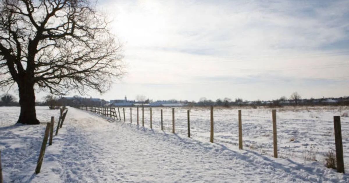
New weather maps from WXCharts indicate a massive 600-mile wall of snow is set to cover the UK from London to the top of Scotland on February 18, with temperatures plunging well below freezing in many areas.
The cold snap is forecast to return on February 21 and 22, bringing snow, rain, and plummeting temperatures. Snow will cover west Scotland, northwest England, and parts of the Midlands and southeast, including London, Brighton, and Cambridge. Light snow showers may also affect central areas like Edinburgh and Leeds, as well as Wales.
Rain is expected to follow the snow, hitting southeast England, Northern Ireland, the west coast, and Wales. On February 22, a band of freezing air is predicted to engulf the entire UK, with temperatures potentially dropping to -4°C in central Scotland and struggling to rise above freezing as far south as London.
The Met Office's long-range forecast for February 14-23 warns of cold and cloudy weather with easterly or south-easterly winds, and the possibility of much colder conditions. Atlantic low pressure may bring fronts moving towards southwestern parts, with a risk of snow initially as it meets cold air. Northeastern areas are expected to hold onto colder conditions longer, but eventually, low pressure is likely to bring rain across much of the UK.




