
The Met Office has escalated weather warnings to a critical level, identifying forty-two specific locations across the United Kingdom that are now facing an imminent and rare meteorological threat. Forecasters have issued an urgent alert for the development of 'freezing fog', a hazardous phenomenon expected to grip parts of the nation starting from tonight.
Rare and Dangerous Conditions Forecast
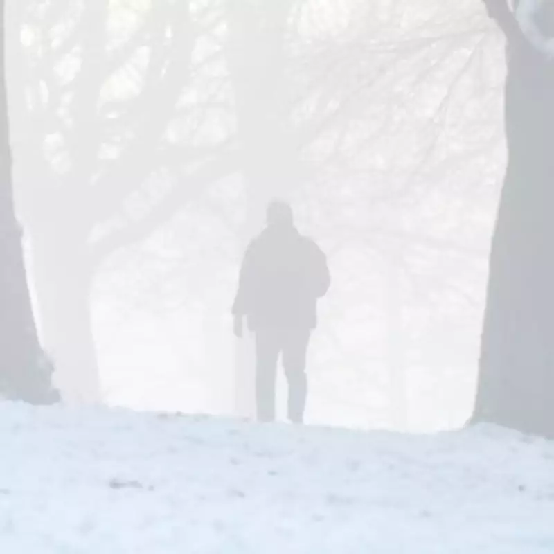
This rare weather event poses significant dangers due to its unique combination of dense fog and sub-zero temperatures. The phenomenon, known as freezing fog, occurs when tiny supercooled water droplets remain liquid despite air temperatures being below freezing. These droplets instantly freeze upon contact with surfaces, creating a layer of rime ice. This can lead to extremely hazardous travel conditions, with black ice forming rapidly on roads, pavements, and other infrastructure.
Immediate Impact and Public Safety Advice
The Met Office has emphasised the seriousness of the situation, warning that visibility could drop to near-zero in affected areas while surfaces become treacherously slippery. Motorists are being urged to exercise extreme caution, consider postponing non-essential journeys, and allow extra time for travel if they must venture out. Pedestrians are also at risk of slips and falls on icy surfaces obscured by the dense fog.

Public transport services in the identified locations may face severe disruptions, with potential delays and cancellations to bus and rail services. Air travel could also be affected at regional airports within the warning zones. The combination of poor visibility and icy conditions creates a perfect storm for transport chaos and increased accident risk.
Geographical Spread and Duration
While the Met Office has not publicly disclosed the full list of forty-two specific locations in their initial alert, such warnings typically encompass areas across multiple regions. Previous freezing fog events have particularly affected low-lying valleys, river basins, and areas with poor air drainage where cold air pools. The phenomenon is expected to develop overnight and may persist through the morning rush hour, potentially lingering in some areas until daytime temperatures rise sufficiently to disperse the fog.
This weather event is classified as rare for the UK, especially in its predicted intensity and geographical spread. Such conditions more commonly occur in continental climates with more extreme temperature variations, making this forecast particularly noteworthy for British meteorologists and emergency planners.
Historical Context and Climate Considerations
While freezing fog events do occur periodically in the UK, warnings covering forty-two specific locations simultaneously represent an unusual escalation in severity and scope. Meteorologists will be monitoring whether this event signals changing weather patterns or remains an exceptional occurrence. The timing in early February places it within the traditional coldest period of the British winter, when temperature inversions that trap cold air near the surface are most common.
Residents in affected areas are advised to take necessary precautions, including checking on vulnerable neighbours, ensuring adequate heating, and preparing for potential power disruptions if ice accumulation affects power lines. The Met Office continues to monitor the situation closely and will update warnings as necessary throughout the developing weather event.


