
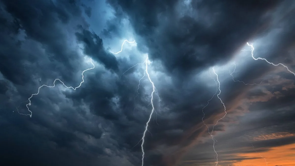
The Met Office has issued a fresh yellow thunderstorm warning covering 42 areas across the UK, as heavy rain is set to replace the recent warm weather. The warning is in effect from midnight until 4am on Thursday, May 28, and covers parts of the East Midlands, London and South East England, North West England, South West England, Wales, and the West Midlands.
Forecasters predict frequent lightning and heavy downpours during this period, along with possible hail and strong, gusty winds in some regions. The warning was announced at 11.52pm on Wednesday evening, just as a previous yellow warning was due to expire at midnight.
A Met Office spokesperson said: "Thunderstorms will continue to affect parts of England and Wales and are likely to become increasingly confined to northern and eastern parts of the warning area during the early hours. While many places will miss the worst conditions, where thunderstorms do occur, frequent lightning and heavy downpours are likely. Hail and strong, gusty winds may also affect a few places."
The warning brings a strong chance of travel disruption, with longer journey times expected for cars and buses. There is also a risk of flooding and potential damage to buildings from lightning strikes, as well as possible power cuts. The Met Office advises seeking safe enclosed shelter, such as a car, if caught outside during thunder, and avoiding sheltering under trees or other structures that may be struck by lightning.
Affected areas include Derby, Leicestershire, Nottinghamshire, Hampshire, Oxfordshire, Greater Manchester, Lancashire, Dorset, Gloucestershire, Carmarthenshire, Conwy, Powys, Shropshire, Staffordshire, Warwickshire, and the West Midlands conurbation, among others.




