
The Met Office has identified eight specific regions across England that are at significant risk of experiencing heavy snowfall by Saturday, as the nation braces for a severe cold snap with temperatures potentially dropping to a bitter -9 degrees Celsius. This wintry blast follows a period of unsettled weather that has already brought substantial rainfall and flooding to parts of the country.
Immediate Snow Threat Across Northern England
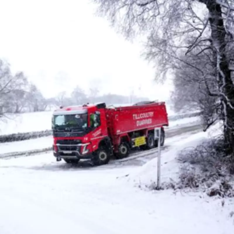
Forecasters are predicting that snow will begin to fall across several counties today and continue into tomorrow, with the most intense accumulations expected in northern areas. The Met Office has explicitly named eight English regions that are likely to see significant snowfall during this period: Cumbria, Derbyshire, Greater Manchester, Lancashire, North Yorkshire, South Yorkshire, Staffordshire, and West Yorkshire.
These areas will not only contend with snow but also face dangerously icy conditions on roads and pavements. A biting southeasterly wind will exacerbate the cold, creating a severe wind chill effect and potentially causing snow drifts, particularly across the Peak District today and Angus in Scotland tomorrow.

Travel Disruption and Safety Advice
With hazardous conditions expected, authorities are urging residents in affected areas to take extra precautions. The Met Office advises people to allow additional time for journeys, suggesting leaving at least five minutes earlier than usual to avoid rushing on potentially slippery surfaces. This simple measure can significantly reduce the risk of accidents, slips, and falls during this period of severe weather.
Stephen Kocher, Met Office Deputy Chief Forecaster, explained the meteorological drivers behind this unsettled pattern: "The rain and snow we're experiencing result from a temperature contrast in North America, which is helping to invigorate the jet stream that drives much of the UK weather. With the jet stream strengthened, this helps to develop and strengthen low-pressure systems and push them towards our shores."
Wider Weather Impacts and Flooding Concerns
While the snow will primarily affect northern regions, other parts of England will experience continued wet weather. This follows heavy rainfall on Thursday that caused flooding across Southwest England, with Camborne in Cornwall recording approximately 25mm of precipitation in less than 24 hours earlier this week.
The Met Office has also issued a rain warning for Northern Ireland that remains in force for much of Friday. As this weather front moves northeast overnight, it is likely to bring some short-lived snowfall to high ground in northern Wales, northern England, and Scotland, though lower levels will probably see rain instead.
Extended Forecast and Further Disruption
The outlook for next week remains concerning, with early indications suggesting more snow is likely, particularly across West Yorkshire, North Yorkshire, and County Durham on Monday. This continued unsettled weather is expected to worsen existing flooding concerns, following difficult scenes across Somerset, Dorset, and Devon this week.
Yesterday, a severe flood warning indicating danger to life remained in place for the Lower Stour at Iford Bridge Home Park, where residents were advised to evacuate their properties "as soon as possible." The combination of snowmelt and further precipitation could create additional challenges for flood management in vulnerable areas.
Mr. Kocher added that the current weather pattern is "likely to bring further unsettled weather into next week," suggesting that Britons should prepare for an extended period of challenging conditions. Motorists are particularly advised to exercise extreme caution, check local forecasts regularly, and consider whether journeys are absolutely necessary during the peak of this winter weather event.


