
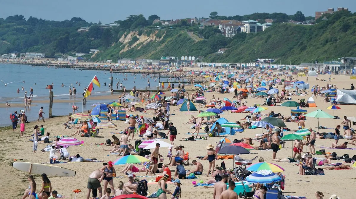
Britons may experience a late summer heatwave with temperatures around 30°C in just over a fortnight, driven by a North African plume, according to forecasters. Portuguese meteorologists predict a "torrid" heatwave for much of Europe, including the UK, with the warmest spots—likely southern England—potentially reaching or exceeding 30°C from August 20.
The Met Office's long-range forecast for August 19 to September 2 indicates above-average temperatures and a possibility of hotter weather later in the month, though confidence remains "very low" due to the forecast period being weeks away. A heatwave cannot be ruled out, but the Met Office stresses it is not a certainty.
Before any heat arrives, the UK faces four days of heavy rain and thunderstorms, with the Met Office issuing severe weather warnings. Some areas, particularly northwest England and north Wales, could see 80-100mm of rain on Friday, with further downpours possible on Saturday. There is a small chance of rapid flooding for homes and businesses.
The Portuguese Institute for Sea and Atmosphere (IPMA) reports that a wave of torrid heat from North Africa will sweep across Europe in the coming weeks, potentially extending as far north as Norway. Portugal could see 40°C from August 13, increasing the risk of heat-related illness and wildfires.
Met Office spokesman Grahame Madge said: "The confidence for the outlook is very low... We’re saying that towards the end of the month, the second half of the month, there’s a greater chance of more settled spells. Temperatures are likely to be above average with the potential for hotter spells later in the month." He added that "hotter spells" do not necessarily mean heatwave territory.




