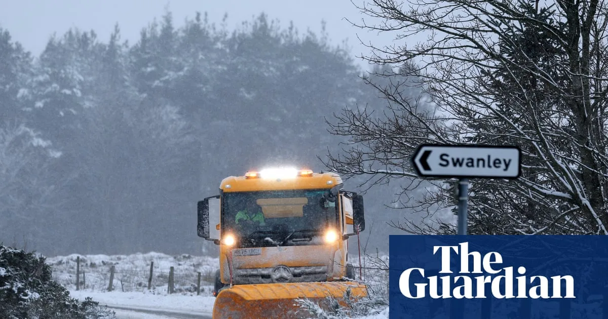
The UK is bracing for bitterly cold weather this weekend, with yellow warnings for snow and ice in place across large parts of the country and amber warnings for northern Scotland. Up to 10cm of snow has already settled in some areas, with forecasters warning of further disruption as wintry conditions persist.
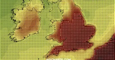
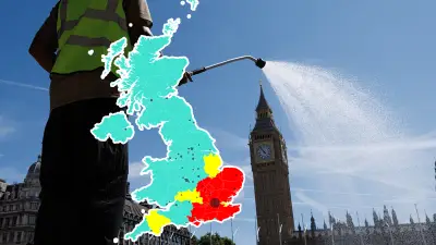
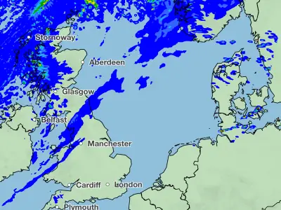
The Met Office has issued yellow warnings for snow and ice covering much of England, Wales, and Northern Ireland until Monday. An amber warning for snow in northern Scotland remains in effect until midday Saturday, with potential for up to 20cm on low ground and 40cm on higher ground. Blizzard-like conditions are expected in the worst-hit areas.
Travel disruption is anticipated, with the AA estimating 20.7 million car journeys on Friday alone. Motorists are advised to allow extra time, and power cuts could occur in the amber warning zones. Snowfall has already caused difficulties in the Highlands and northeast Scotland since New Year’s Day.

In England and Wales, a yellow warning runs until midday Friday, covering areas from London to Greater Manchester and Cardiff, with 2-5cm of snow possible. Separate warnings for ice are in place for southwest England and Northern Ireland. The UK Health Security Agency has issued a cold weather warning until January 6, warning of increased health risks for the elderly and vulnerable.