Campaign group Slow Ways has announced that volunteers have mapped 10,000 walking routes across Great Britain, aiming to make rural walking more accessible for disabled people, parents with children, and older individuals. The routes, researched and mapped since 2020, are now available on a dedicated website.
The project currently includes 7,699 routes in England, 1,510 in Wales, and 854 in Scotland, offering a total of 90,000 miles of walks. Slow Ways plans to develop an app that will provide detailed accessibility information, such as wheelchair suitability, presence of animals, and surface cleanliness.
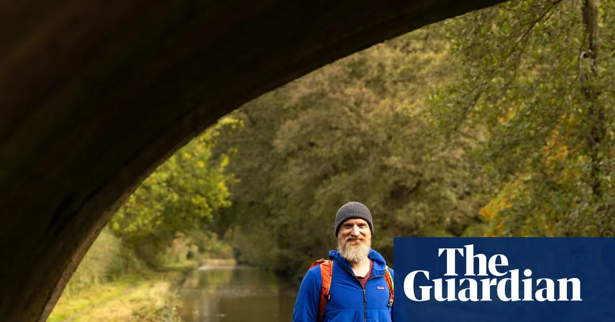
Daniel Raven-Ellison, chief executive and founder of Slow Ways, described the initiative as an act of 'citizen geography' and 'entirely democratic'. He noted that popular apps like Google Maps and Apple Maps do not offer such specific route characteristics, while Slow Ways aims to give users the confidence to explore without uncertainty.

Raven-Ellison highlighted that neglect and overgrowth are major issues for Britain's walking networks, making routes less accessible. He encouraged people to use the routes regularly, arguing that increased footfall helps maintain the environment and fosters a sense of connection to nature.