More than 17 million people along the US Atlantic and Gulf coasts face the highest risk of flooding, with New York and New Orleans particularly vulnerable, according to a comprehensive new study. Researchers at the University of Alabama used 16 factors—including geographic hazards, population exposure, infrastructure, and social vulnerability—along with FEMA damage data and three AI tools, to assess flood risk from Texas to Maine. They found 17.5 million people at 'very high' risk and another 17 million at 'high' risk.
The study, published in Science Advances, also examined extreme flooding (the top 1% of events), identifying 4.3 million people at the highest risk level and 20.5 million at the second highest. Eight cities were highlighted, including Houston, flooded by Hurricane Harvey in 2017, and New York, inundated by Superstorm Sandy in 2012. New York City has 4.75 million people at the two highest risk levels for all flooding, with over 200,000 buildings likely to be damaged.
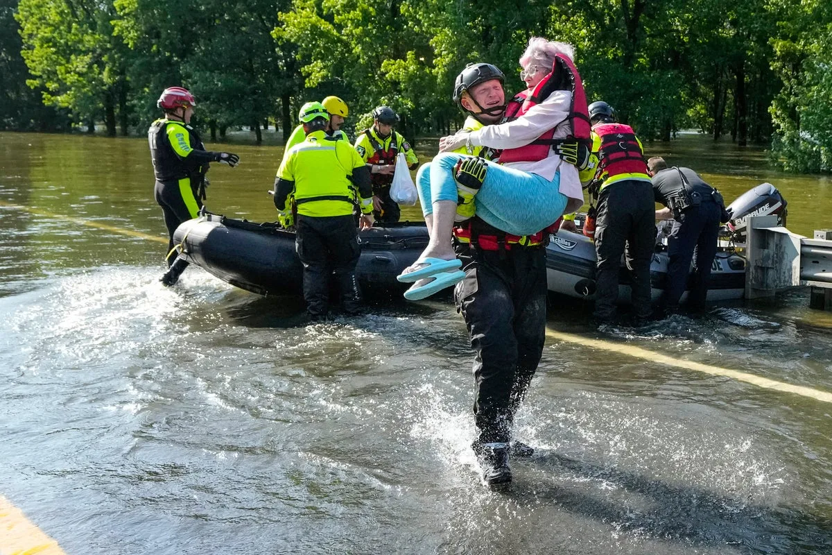
In New Orleans, about 380,000 people—99% of the city's population—are at high or very high risk. Co-author Wanyun Shao noted that while not all will be affected in a single event, the numbers are 'shocking' and 'alarming.' She warned that socially vulnerable populations—the poor, elderly, children, and uneducated—are especially at risk when major storms hit.

Outside experts expressed surprise at the scale. Alex de Sherbinin of Columbia University said New York's flood-exposed population is nearly an order of magnitude larger than any other city. The study attributes increasing flood problems in New York and New Orleans to human-caused climate change. Jacksonville has 679,000 people at high or very high risk, followed by Houston (just under 600,000), Miami, Norfolk, Charleston, and Mobile.
The study's comprehensiveness—including sinking land, impervious pavement, and social vulnerability—sets it apart, said experts. Venkataraman Lakshmi of the University of Virginia noted the methodology could be applied globally, such as in Manila. Marco Tedesco of Columbia University emphasised that future flood disasters depend on where people live, how cities are built, and who is least protected. Study lead author Hemal Dey hopes local officials will consider natural infrastructure like wetlands and grasslands alongside traditional defences.