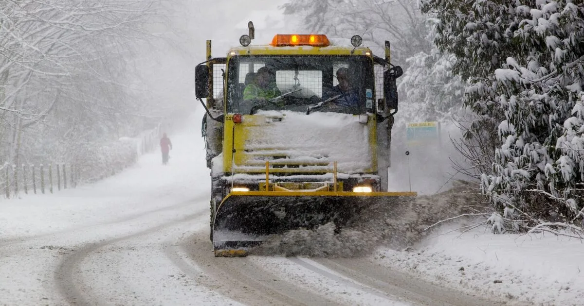
The Met Office has issued yellow weather warnings for snow across parts of the UK this week, with a significant snowfall expected in England and Wales from Thursday into Friday. Scotland and the Shetland Islands are already under warnings from Tuesday midnight until Wednesday afternoon, but the rest of the UK will see snow later in the week.
According to the latest snow maps, heavy snow is forecast to hit England and Wales on Thursday, with the most intense showers arriving in the early hours of Friday, February 6. Areas likely to experience the heaviest snowfall include Manchester, Sheffield, Birmingham, Stoke-on-Trent, Burnley, and North Yorkshire. In Wales, Caernarfon, Aberystwyth, Newtown, and St Asaph are expected to be affected, along with Newry and Enniskillen in Northern Ireland.
The Met Office has named 13 areas in England most likely to see snow on Friday. These include Leeds, as well as other locations across the North, Midlands, and Yorkshire. The forecaster noted that frontal systems from the Atlantic, steered by a south-shifted jet stream, will approach the UK but stall due to high pressure to the north and northeast, leading to further rain and snow, particularly over higher ground in northern England and Scotland.

Looking ahead, the Met Office warned that a subtle southward shift of low pressure areas during the second week of February may allow colder air to spread across larger parts of the UK, including the south, increasing the risk of wintry hazards.