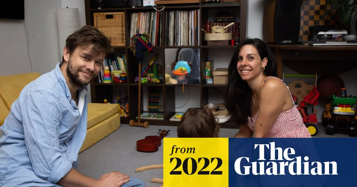
The traditional Australian dream of owning a house with a backyard is slipping out of reach for many younger families, as record house prices push them towards apartment living. Raising a family in a flat is fast becoming the new, compact Australian ideal, but a construction boom driven largely by investors has brought design and quality problems that often turn the scaled-down dream into a cramped reality.
Structural failures such as the Opal Tower at Sydney Olympic Park highlight the risks of poorly built blocks. The shift towards apartments has been steady for decades: at the 2016 census there was one occupied apartment for every five separate houses, up from one for every seven in 1991. In Sydney, the median house price more than doubled from A$533,000 in December 2011 to A$1.22m in September 2021, while the median apartment price rose from A$460,000 to A$790,000.
The nature of apartment living has also changed, with high-rise blocks becoming a profitable model for developers. In 1996, 18% of Australia's occupied apartments were in buildings of four or more storeys; by 2016, more than 38% of the country's 463,000 occupied apartments were in high-rise developments. State governments have struggled to regulate standards amid this explosion.

Design guidelines in New South Wales, such as SEPP65, introduced in the early 2000s, are considered an early gold standard for minimum room sizes and light sources, though some experts say they have led to a template-style generation of towers. Victoria adopted similar standards only in 2017, leaving a wave of earlier apartments with an average size of 44 square metres and bedrooms dependent on “borrowed light”. A parliamentary inquiry in Victoria, chaired by Labor MP Sarah Connolly, is now examining minimum standards. Connolly notes that many apartments have showers that cannot fit a baby bathtub, and that proper lighting affects mental health.
Connolly says a common theme is the market structure, with many off-the-plan buyers being investors who never live in the units. Professor Ralph Horne of RMIT University says the engineering of many modern apartment buildings makes substantial renovations structurally impossible, unlike older art-deco blocks. “Once these blocks are built we're stuck with them,” he warns. His research across Melbourne, Perth, London and Barcelona, involving interviews with 250 families, suggests European designs are more attractive to residents, offering better opportunities to know neighbours above, below and to the side.