The World Meteorological Organization (WMO) has warned that there is an 80% chance of El Niño forming before September and a 90% chance before November, with experts concerned that the natural weather pattern could be supercharged by human-driven climate change.
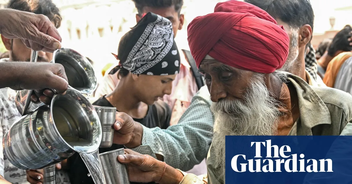
Asia is predicted to be one of the most exposed regions, with intensifying heat and drought expected to put major stresses on agriculture, power grids and water supplies. India faces a potentially disastrous weakening of the monsoon, which is already predicted to deliver below-average rainfall, exacerbating deadly heatwaves and an energy crisis.
In China, the National Climate Centre said El Niño’s effects would peak in autumn and winter, leading to increased rainfall in southern China and higher temperatures nationwide. Some areas could see rainfall 20% higher than average, prompting the Ministry of Water Resources to warn that the flood control situation is severe and complex.

South-east Asia is also at risk of prolonged heat, severe drought, wildfires and air pollution, according to Justin Sentian, a professor in climate change at Universiti Malaysia Sabah. The UN has urged the world to prepare for the imminent return of El Niño and the raised global temperatures and weather extremes it brings.