
Britain could see the first signs of a polar vortex disruption next month, but a weather expert says the country may have to wait until later in winter for the risk of a “proper Arctic blast”.
Fears of a bitterly cold winter have been growing as a record-breaking El Niño develops, with the weather phenomenon potentially influencing the dislocation of the polar vortex and raising the prospect of freezing temperatures and snow if Arctic air is pushed towards the UK.
Early signs 'a pipsqueak'
Senior meteorologist Jim Dale said the earliest substantial impact would be in the next few weeks, although any initial impact is expected to be relatively minor as temperatures across the UK remain too warm for anything significant.
Jim, from British Weather Services, said: “There is a little bit of an early sign as we move towards the 12th of October, but that’s going to be a pipsqueak. It’s not going to be anything more than that.”
He added: “At this time of year everything’s too warm. The land is too warm, the sea is too warm for even that, even a modified thrust of cold air won't be much to be concerned about.”
Scotland’s mountains could, however, begin to see the first wintry showers as temperatures continue to fall through October. Jim said: “As we go through October you would normally start to see the mountains of Scotland seeing the odd bit of snow here or there.”
What is the polar vortex?
The polar vortex is a large circulation of powerful winds high above the Arctic which surrounds an area of extremely cold air. It develops during autumn and typically strengthens into winter. Problems can arise when the vortex becomes weakened or disrupted, potentially allowing bitter Arctic air to push further south toward Europe and, depending on its path, the UK.
Jim explained: “What we look for is that disruption, the dislocation, because depending on where it goes, if the dislocation moves in our direction then you can expect modified Arctic air to cross the UK, in which case you then get frost, you get potentially freezing winds and also snow.”
But any more significant threat of wintry weather is more likely to emerge deeper into the season, with the meteorologist pointing particularly towards the period after Christmas. He said: “You wouldn’t normally expect snow until later in the season and into wintertime, particularly after Christmas rather than before. That's when we have to keep our eyes on it.”
Unknown territory
If a significant disruption were to send Arctic air towards Britain, the consequences could be markedly different from an ordinary spell of chilly winter weather. Jim said: “When they do happen you can expect to see at least a few days of wintry type weather. And I don’t just mean, ‘It’s a bit cold’ or there’s a frost on the ground, because that can happen under high pressure. I mean a proper northerly Arctic blast. “It can either be big, large and large scale and fundamentally difficult to hazardous... or it can be a pipsqueak.”
The uncertainty comes as an exceptionally strong El Niño develops in the tropical Pacific. The climate phenomenon can alter weather patterns thousands of miles away and has been linked to an increased likelihood of wetter and stormier conditions across north-west Europe during autumn and early winter. It can also influence conditions later in winter, with previous research suggesting El Niño can increase the likelihood of the polar vortex weakening. This year’s event is also unfolding against the backdrop of long-term human-induced climate change, making exactly how the coming months play out difficult to predict.
Jim said: “The problem that we’ve got is we’ve never had the recipe of climate change as it is, plus the Super El Nino to the degree that we’ve got at this moment in time. There is a massive question mark in terms of how that is going to unfold, as far as the rest of this autumn to winter is concerned. We don’t know, because we’ve never been there before - we're in unknown territory.”
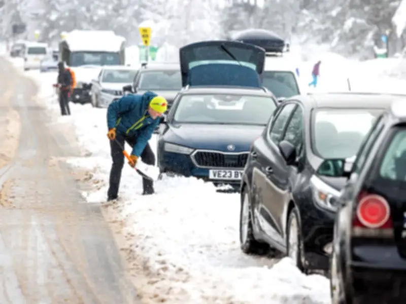
Past disruptions to the polar vortex have been associated with some of Britain’s most memorable spells of severe winter weather. Sudden stratospheric warming - when temperatures high above the Arctic rise rapidly and the polar vortex can dramatically weaken - played a role in the notorious Beast from the East in 2018. The event sent bitter easterly winds across Britain and brought widespread snow and freezing temperatures.
But anyone already dreaming of a white Christmas may want to temper their expectations. Jim said: “I would still be saying the chances are slim, and slimmer the further south you come. So don’t hold your breath on that one. But as I say, anything is possible, so we’ll wait and see.”




