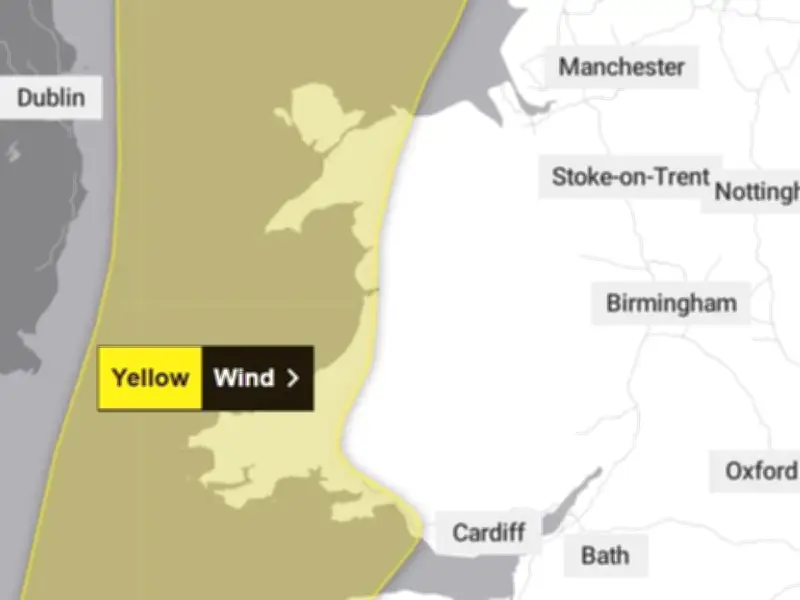
A yellow weather warning for strong winds has been issued for nine areas of Wales, with gusts of up to 65mph expected just a day after Storm Boelo brought disruption across the country.
The warning, issued by the Met Office, will come into force at 6pm on Monday, October 26, and remain in place until 3am on Tuesday, October 27, with exposed coastal areas and higher ground expected to bear the brunt of the strongest winds.
Storm Boelo aftermath
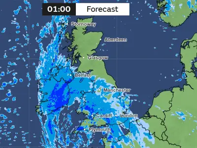
The warning comes as Wales continues to deal with the effects of Storm Boelo, which has already caused widespread travel disruption on Monday morning, with flooded roads, fallen trees and rail cancellations reported as further heavy rain moves across the country.
Nine flood alerts remain in place across Wales, while communities affected by flooding over the weekend are facing the prospect of further disruption as unsettled weather continues.
Wind speeds and affected areas
South to south-westerly winds are forecast to strengthen from the west during Monday evening, bringing gusts of between 45mph and 50mph inland. Exposed coastal areas and higher ground could see gusts reach 60mph to 65mph, with periods of heavy rain adding to the challenging conditions.
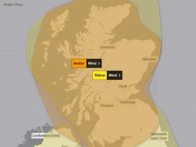
Winds are expected to ease gradually from the west during the early hours of Tuesday morning, although stronger winds are forecast to return across northern parts of the UK later in the morning.
The yellow wind warning covers Bridgend, Carmarthenshire, Ceredigion, Conwy, Gwynedd, the Isle of Anglesey, Neath Port Talbot, Pembrokeshire and Swansea.
Travel and safety advice
The Met Office has warned that the conditions could affect travel across the affected areas, with delays possible on roads, railways, at airports and on ferry services. Some bus and train journeys may take longer than usual, while high-sided vehicles could face delays on exposed routes and bridges.
Coastal communities are also being urged to take extra care, as strong winds could bring spray and large waves to sea fronts and coastal routes. There is a risk that powerful waves could sweep people off their feet and into the sea, even when they are standing on the shore.
Anyone planning to walk near cliffs or along the coast is advised to remain alert to changing conditions, check their route in advance and keep dogs on leads. In an emergency at the coast, members of the public should call 999 and ask for the Coastguard.
Power cuts and preparation
The strong winds could also lead to power cuts and disruption to other services in some areas. Residents are advised to prepare for the possibility of losing electricity by gathering essential items, including torches, spare batteries and a portable power bank for mobile phones.
Motorists are being encouraged to check road conditions before setting off, while passengers should check bus and train timetables and make alternative arrangements where necessary.
With weather conditions expected to change, the Met Office is also advising people to keep up to date with the latest forecast and any changes to weather warnings in their area.