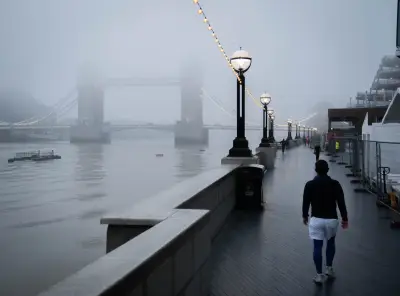
The Met Office has issued a yellow weather warning for fog across large parts of the UK, with potential disruption to flights and delays to bus and train services expected.
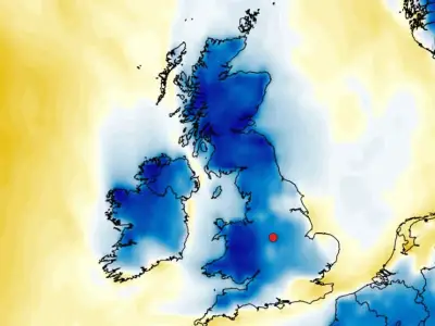
The warning runs from 6pm on Sunday until 11am on Monday, covering a zone that stretches from York to Bath and includes most of the South East and eastern England. The thickest fog is likely in this area, though low-lying cloud will affect other regions.
Perfect recipe for fog
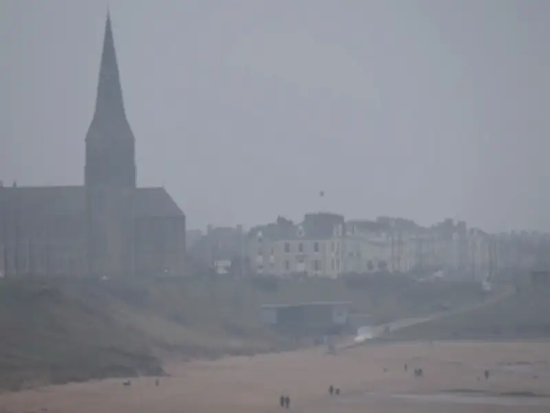
Niamh Murray, Met Office operational meteorologist, said: "There is still going to be patchy fog elsewhere, just not quite as dense or as impactful. Parts of the West Country could still see fog, Northern Ireland, really anywhere across much of the UK, even into the central belt of Scotland."
Ms Murray described current conditions as the "perfect recipe" for fog, citing longer nights, lower temperatures, light winds and clear skies. "We just have the perfect recipe at the moment: light winds, clear skies, long nights, to allow that fog to develop," she told the Press Association.
Visibility and travel impact
Fog is expected to be especially persistent overnight into Monday across rural areas of the Midlands, Wales and East Anglia, where temperatures will fall close to freezing, with air frost a distinct possibility.
Visibility could drop to as little as 50 metres in certain locations, the Met Office cautioned, with disruption to bus and train services likely and the prospect of delays or cancellations to flights.
Rainfall expected later in the week
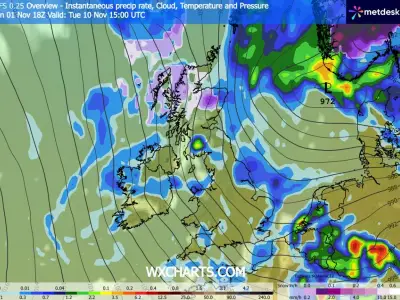
Between Tuesday and Thursday, some "pretty welcome" rainfall is anticipated, Ms Murray stated. "Most places are likely to see 10 to 20mm and there is a chance that we could see some places seeing 30mm," she said.
"But across the South West, where severe drought has been declared and is still enforced by the Environment Agency, there is a chance that we might see some very slow-moving rain, and you could see potentially accumulations up to 50 to 70 mm."