Greater Manchester is set for a dry and clear Bonfire Night on Thursday, with temperatures around 9C or 10C at 6pm, according to the Met Office.
Bonfire Night, also known as Guy Fawkes Night, marks the failed Gunpowder Plot of 1605 and has been observed around November 5 each year since. This year the date falls on a Thursday, with celebrations expected both on the day and over the following weekend.
Free Firework Displays at Three Manchester Parks
Manchester council confirmed in September that firework celebrations would return to Manchester parks on Saturday, November 7, two days after Bonfire Night. The free family-friendly displays will take place at Wythenshawe Park, Heaton Park and Platt Fields Park in Fallowfield, with no bonfires at the events.
In a first for the event, organisers will stage two different displays at each park, one at 5pm and another at 8pm.
Emergency Services Urge Responsible Behaviour
Emergency services are urging residents to behave responsibly after a rise in firework-related anti-social behaviour and attacks on firefighters last year. Greater Manchester Fire and Rescue Service (GMFRS), Greater Manchester Police (GMP), the Greater Manchester Combined Authority and the region's 10 councils have joined forces for the annual 'Bang Out Of Order' campaign.
Between September 1 and November 10 last year, 1,020 incidents involving nuisance fireworks were recorded, up from 1,003 in 2024. Attacks on firefighters rose from 17 to 20, while 935 deliberate fires and 767 hoax calls were reported.
Met Office Forecast for Greater Manchester and the UK
Across the UK, Thursday is set to be dry and clear. In Greater Manchester, temperatures are forecast to be around 9C or 10C at 6pm, with lows of 7C reaching their coldest at 11pm.
The Met Office summary for the north west reads: "A rather cloudy day with the cloud thick enough to produce some light spots of rain. Best of any brightness to the west of high ground. Temperatures remaining around average. Maximum temperature 12C."
Between Friday and Sunday, the north west will be "largely cloudy", with a "small chance of rain" and "overnight frost" possible during clearer spells.
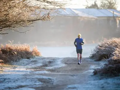
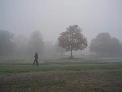
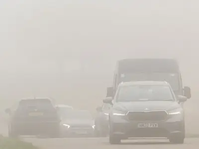
The UK-wide forecast for Thursday reads: "Brisk easterly winds across the south with isolated showers, heaviest near southwest England later. Northern and northwestern areas see the brightest conditions, though fog may linger. Rather chilly further south."
Over the weekend, the UK-wide forecast reads: "Often cloudy through the weekend with frost and fog at times. Showers continuing, light in eastern areas but locally heavy in the southwest. Temperatures near average, feeling near coasts."