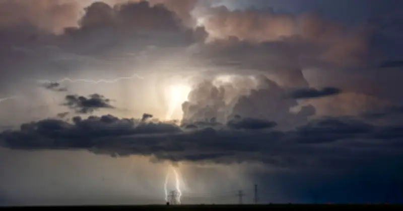
Storm Boelo is battering the UK with heavy rain and gale-force winds, with gusts of up to 80mph recorded in exposed coastal locations. The storm follows Storm Austen, which brought disruption earlier in the week, and weather warnings remain in place until Sunday evening.
Storm Boelo brings strong winds and rain
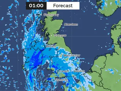
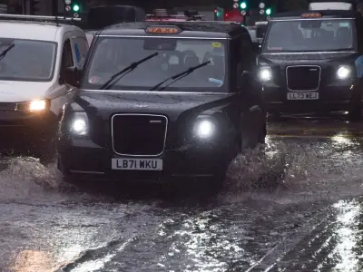
Storm Boelo hit the UK this weekend, bringing heavy rain and strong winds across the country. The storm is the second named storm of the season, following Storm Austen, which cleared to the east of England on Friday evening. Thousands of households in the south west were left without power and several areas faced severe flooding after the two storms hit in quick succession.
Forecasters had previously warned that "damaging gusts" of up to 80mph were likely across the north of the UK, while it was unlikely that anywhere would be spared from the rain. Storm Austen saw gusts of 76mph recorded at St Mary's Airport in the Isles of Scilly, 74mph at Aberporth in south Wales and 71mph at Culdrose in Cornwall.
Amber warnings and travel disruption
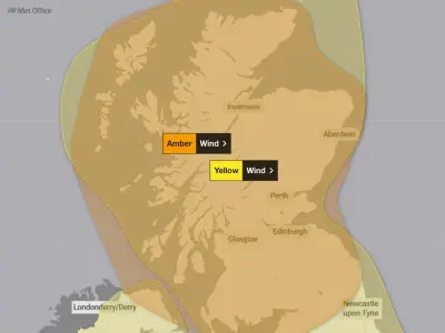
Winds associated with Storm Boelo are likely to be even stronger, with an amber warning for wind covering much of Scotland, Northern Ireland and parts of the north of England. Chief forecaster for the Met Office Jason Kelly said on Friday: "Storm Boelo will be felt across the UK this weekend, with the strongest winds and greatest potential for disruption in the north. Amber warnings are in place across mainland Scotland, parts of Northern Ireland and the far north of England, where gusts of 60 to 70mph are expected widely, with the potential for 80mph in exposed coastal locations."
Kelly added: "Strong winds will also affect other parts of the UK, with gusts of 50 to 60mph possible in places. Heavy rain will provide an additional hazard, particularly in the north, bringing the potential for further impacts. People should prepare for the potential for disruption, particularly to travel and power supplies. Secure loose items outside, plan ahead if you are travelling and keep up to date with the latest forecast and warnings for your area."
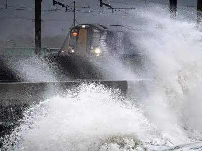
The Environment Agency issued 22 alerts for spots across England where flooding is possible, as well as a warning that flooding is expected at New Brighton, Merseyside, because of high tides in the Irish Sea. Widespread travel disruption is expected to ferries and trains, with TransPennine Express warning against all but essential train journeys on Saturday and Sunday, and Avanti West Coast strongly advising users not to travel north of Preston on Sunday, Manchester Evening News reported.
When will the storm end?
Storm Boelo weather warnings remain in place until Sunday evening, with an amber warning for wind and a yellow warning for wind in place until 9pm. However, respite from the storm will likely be short-lived as the Met Office has warned that unsettled conditions are expected to continue into next week, particularly in the north, as another area of low pressure approaches the UK.
The rain is set to return at the start of the week, with a large band of rain sweeping in from the south on Monday morning. The Met Office has also issued a wind warning for northern parts of the UK on Tuesday. Further ahead, there are signs of higher pressure becoming more influential towards the end of the week, which could bring a transition towards more settled conditions for parts of the UK, the Met Office said.