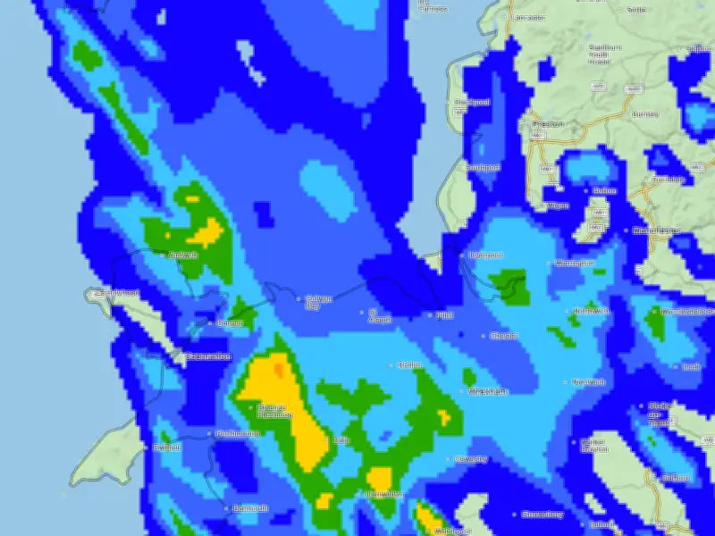
Liverpool is set to experience unsettled weather as Storm Austen arrives from Thursday, October 22, with gusts of up to 49mph expected from Friday afternoon, along with rain and temperatures of 10 degrees C.
A 12-hour yellow weather warning for wind has been issued for parts of the South West, the south coast and South Wales, starting at 12am on Friday. The warning highlights the chance of travel disruption, power cuts and a risk of injuries from debris in places.
What to Expect in Liverpool
Rainy, wet and windy weather is expected from today in the North West. Heavy rain and high wind on Friday will give way to a drier Saturday, with some sunny spells early on turning wet and windy later in the day.
Today, Wednesday, October 21, temperatures will be similar to the upcoming weekend, with 11 degrees feeling like 8. Thursday will also see windy weather with lows of 11 degrees and a 30% chance of rain.
Weekend Outlook and Warnings
Going into Saturday, high wind gusts are expected to continue, but Liverpool will see drier weather as the chance of rain drops to 20% in the early hours of the morning. The Met Office map currently shows Liverpool expecting 1-2 millimetres of rain per hour after Storm Austen, with heavy rain and winds slowing down later into the evening.
BBC weather says: "Tomorrow morning (Thursday) will see sunny spells and isolated showers. Turning drier later in the afternoon, with plenty of brightness."
Storm Impact and Forecaster Comments
On Friday, Storm Austen will bring heavy rain and strong winds throughout the day, with squally gusts possible. The winds will ease overnight, and after a dry and fine start, it will turn wet and windy on Saturday. "Heavy rain will move in from the west. Sunday will continue to be windy with sunny spells, variable cloud and isolated, blustery showers," the BBC forecast adds.
Met Office Deputy Chief Forecaster Tom Crabtree said: "While the exact track and position of Storm Austen is still being determined, what’s clear is that we have an impactful period of weather on the way and the potential for disruption in places, which has resulted in the system being named. Peak gusts in excess of 70mph are possible on the most exposed coastal areas, while 50-60mph are likely more widely within the warning area. Weather warnings are under constant review and could be updated as confidence increases, so it’s important to stay up-to-date with the forecast in the coming days."