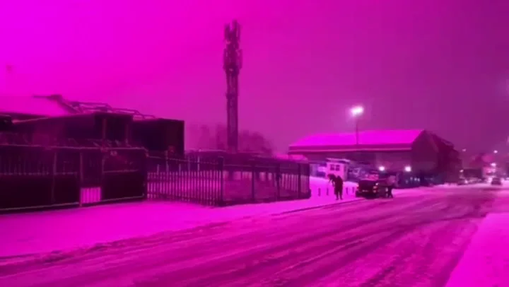
Residents in and around Birmingham were left baffled on Thursday evening (8 January) as the sky turned neon pink during severe winter weather caused by Storm Goretti.
As the colour spread across the sky, many residents shared videos on TikTok, captioning the scenes as a possible sighting of the Northern Lights. However, the mystery was soon solved.
BBC Weather said falling snow and thick cloud made the sky highly reflective, intensifying artificial light. The glow was later attributed to bright pink grow lights being used at Birmingham City Football Club.
—

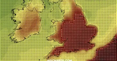
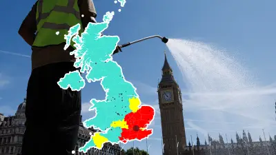
The storm triggered multiple alerts from the Met Office, including a rare red wind warning in Cornwall and the Isles of Scilly, with amber snow warnings across the Midlands.