
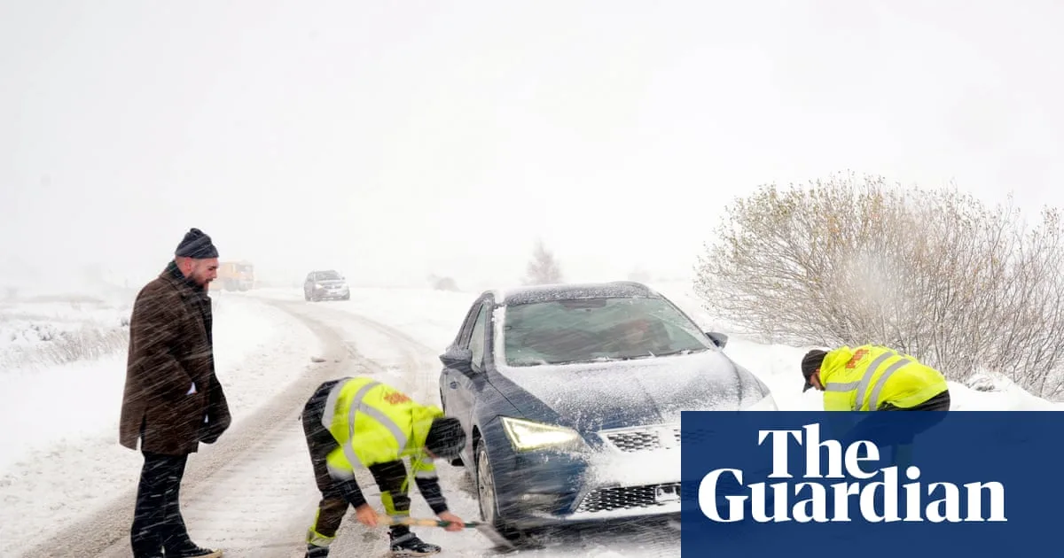
The UK has experienced its first major winter blast, with blizzards, ice, and freezing temperatures causing significant disruption across the country. The Met Office issued eight yellow snow and ice warnings for Thursday, covering regions including Devon and Cornwall, Kent, East Anglia, north-east England, Wales, Northern Ireland, and northern Scotland. An amber alert was also in place for the North York Moors and Yorkshire Wolds, warning of blizzards and up to 25cm of snow on hills.
Hundreds of schools were closed, with Aberdeenshire in Scotland the worst hit as over 90 schools shut. In Wales, 36 schools closed in Pembrokeshire, 14 in Carmarthenshire, and seven in Ceredigion. Roads were blocked or treacherous, including closures on the A1 in Northumberland and the A171, with police advising against travel to Malton, Scarborough, Whitby, and Filey. Drivers were urged to make only essential journeys and to drive slowly and smoothly.
The cold snap brought the coldest night of the season so far, with temperatures dropping to -6.6C in Oxfordshire, -6.4C in Powys, and -2.8C in Co Antrim. The Met Office warned that Thursday night could see lows of -10C in rural Scotland. 'Thundersnow' was reported in Aberdeenshire and off the north-east coast, with a risk of more on Thursday.

Attractions such as Ryedale Folk Museum in North Yorkshire closed due to snow for the first time in a decade. The UK Health Security Agency's amber cold health alert remains in force across northern England until Saturday. However, temperatures are expected to rise closer to seasonal averages by the weekend, with wetter and windier weather arriving.


