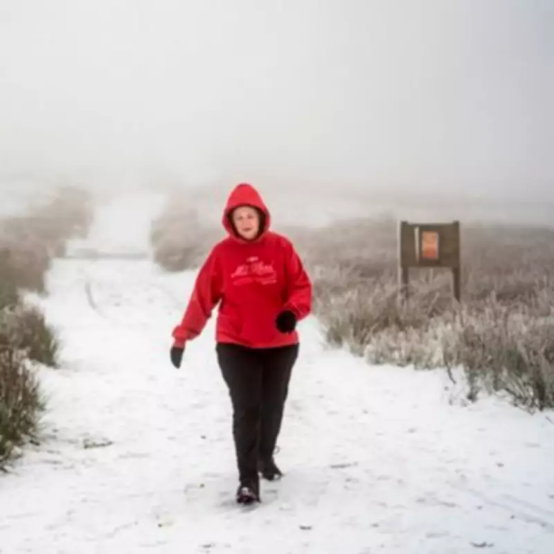
Britain is preparing for a dramatic weather shift as forecasters predict a -5C Arctic blast and significant snowfall later this month, following weeks of relentless rain and widespread flooding across the nation. New weather maps indicate that snow could reach as far south as East Anglia, marking a stark transition from the current deluge to freezing conditions.
From Floods to Freeze: A Rapid Weather Transition
Currently, the UK is grappling with extensive flooding, with numerous warnings and alerts in place across England, Scotland, and Wales. As of Sunday morning, England alone had 89 flood warnings indicating expected flooding and 218 alerts suggesting possible flooding, primarily concentrated in the south-west and Midlands regions. Scotland has seven warnings and two alerts, while Wales faces six alerts, highlighting the severity of the ongoing wet weather.
The Met Office has issued a yellow warning for rain covering southwest England and parts of south Wales, effective from midday until late Monday, as rainfall is expected to persist into next week. However, this pattern is forecast to change dramatically.
Snowfall Predictions and Temperature Plunge
According to new maps from WXCharts.com, a band of snow could strike East Anglia on Tuesday, February 17, with temperatures dropping to -5C that same day in northern Scotland. This Arctic blast is set to bring snowfall to various regions, including the Scottish Highlands, where it may settle on high ground in mid and north Wales, as well as parts of Scotland around South Lanarkshire and Dumfries and Galloway.
The Express reports that this snowy spell follows a turbulent January, during which the UK was battered by three consecutive named storms, causing heavy rain, strong winds, and significant disruption. Recent incidents, such as an Asda van submerged in flood water at Walfords Bridge in Shropshire on Friday, underscore the current challenges, though fortunately, no rescues were needed.
Met Office Long-Range Forecast and Regional Impacts
The Met Office's long-range forecast for Thursday, February 12 to Saturday, February 21 cautions about the "likelihood of some snow." It states: "Predominantly cyclonic patterns are expected to dominate the UK. The early part of this period could see colder conditions becoming established more widely for a time, bringing with it the likelihood of some snow, primarily to the north and northeast."
This shift may offer a brief respite from the wet weather across southern regions. However, by the end of this period, the track of Atlantic depressions is predicted to shift slightly northward, maintaining broadly unsettled conditions with further spells of rain and potentially strong winds. While many parts may become milder due to a westerly influence, colder conditions could linger in the northeast.
Current Flood Warnings and Future Outlook
Presently, flood warnings are concentrated in Devon and Hampshire, as well as the region between Gloucester and Worcester. Over 230 flood alerts are spread across much of England, excluding the far north and East Anglia. As the UK transitions from flooding to freezing, residents are advised to prepare for icy conditions and possible snow accumulation, particularly in northern and eastern areas.
This forecast highlights the volatile nature of British weather, with communities bracing for both immediate flood risks and impending cold snaps. Stay updated with local advisories as the situation develops.


