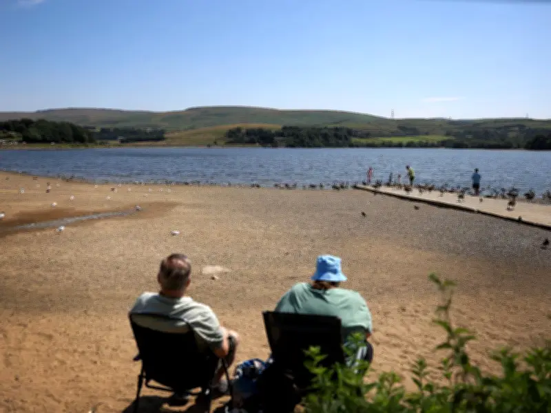
The Met Office has stated that significant rainfall is not expected in the immediate future for most of the UK, as a prolonged heatwave continues to grip the country. Temperatures are forecast to reach a high of 33 degrees Celsius in parts of southern-central England on Wednesday, July 17, according to Met Office spokesman Stephen Dixon.
Heat-Health Alerts and Wildfire Risks
The UK Health Security Agency (UKHSA) has extended its heat-health alerts, with yellow warnings in force across most of the UK until Friday, July 17. These alerts warn of an increased risk to vulnerable individuals, particularly the elderly. Meanwhile, the National Fire Chiefs Council (NFCC) reports that 19 active wildfire incidents are being handled nationwide, with firefighters battling a blaze near Dovestone Reservoir since Saturday evening.
The NFCC states that “severe wildfire risk” remains across large parts of England and Wales, with some locations at “extreme risk.” Fire and rescue teams are dealing with a combination of large moorland and agricultural fires.
Forecast Details
Stephen Dixon told the Press Association: “The heatwave continues for much of the UK this week where we could see temperatures peak on Wednesday, possibly a high of 33 degrees Celsius in some parts of southern-central England. Temperatures through much of this week for southern-central parts of England are into the low 30s, and mid to high 20s are even possible elsewhere. It’s going to be a sunny and warm week for the vast majority of the UK as high pressure remains in charge of our weather regime and is leading to clearer skies for many and lack of rainfall for many as well.”
In a blog issued on Tuesday, the Met Office explained that high pressure has been the dominant feature of the UK's weather pattern in recent weeks, bringing prolonged sunshine, light winds, and very limited rainfall. The settled pattern has allowed temperatures to climb well above average, with several parts of the UK experiencing their third heatwave of the year so far. While some locations have seen isolated showers or thunderstorms, these have been very localised, with many areas remaining completely dry for extended periods.
When Will Rain Return?
The Met Office said: “The short answer is that for many areas, significant rainfall is not expected in the immediate future. Current Met Office forecasts suggest rain will remain in short supply across much of the UK over the coming days.” Over the next few days, high pressure is expected to remain close to the UK, meaning dry weather will continue for most areas. The most likely chance of rain will be in the far south or south-west, where a few isolated showers are possible. However, these are expected to be scattered and short-lived, with many places remaining dry.
Looking further ahead, the Met Office says there are signs that the settled pattern may begin to weaken towards the end of July. The Met Office states: “As the high-pressure becomes less dominant, there will be an increasing chance of weather fronts, showers and thunderstorms reaching parts of the UK. However, confidence in the timing, location and extent of any wetter conditions remains relatively low at this range. This does not necessarily mean a return to prolonged wet weather. Instead, a more changeable pattern could develop, bringing a mixture of dry, sunny periods and occasional showers, thunderstorms or longer spells of rain.”