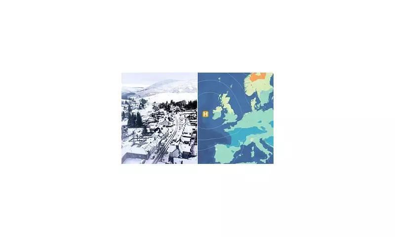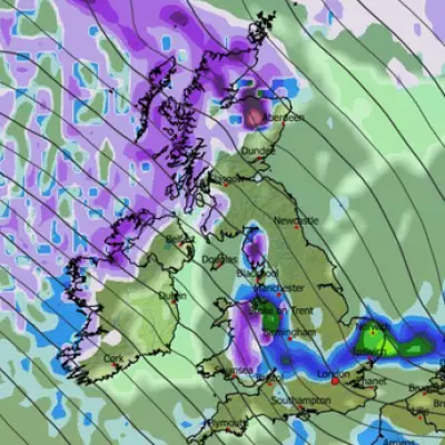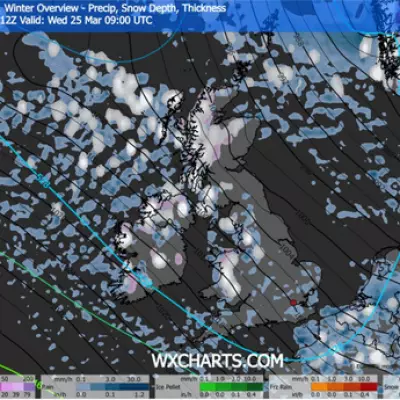
Britons dreaming of a festive blanket of snow this Christmas are likely to be disappointed, according to the latest forecasts from the Met Office. Meteorologists state there is a 'very low chance' of a widespread white Christmas across the UK, with high pressure expected to bring dry, settled conditions instead.
Frost and Fog Over Festive Flurries
The national weather service indicates that high pressure will dominate the UK's weather pattern by December 25th, leading to generally dry and settled conditions. Temperatures are predicted to be around average or slightly below for the time of year. While this setup increases the likelihood of widespread overnight frost and freezing fog, forecasters do not anticipate conditions becoming exceptionally cold, and notably, snow is absent from the current forecast.
This outlook stands in contrast to the optimism of some bookmakers. Firms like Ladbrokes and Coral are currently offering short odds on snow falling somewhere in the UK on Christmas Day, with Ladbrokes pricing it at 1/3 and Coral at 1/2. Specific city odds include Edinburgh at 5/4 with Ladbrokes, Newcastle at 2/1, and London at 8/1.
Three Scenarios for Christmas Day Weather
Met Office meteorologist Annie Shuttleworth outlined the three most probable scenarios for how high pressure will influence the UK on Christmas Day, based on current modelling:
The first and most likely scenario, with a 49% chance, involves an anticyclonic northerly centred over the Irish Sea. This would bring northerly winds and significantly reduce any potential precipitation.
The second scenario, holding a 12% chance, is an anticyclonic east-southeasterly centred over Denmark. This pattern would draw in easterly winds, potentially bringing showers to western parts of the UK.
The third scenario, also with a 12% probability, features an anticyclonic southwesterly over northern France. This would introduce a southwesterly wind and slightly milder weather conditions.
Ms Shuttleworth concluded, 'All of these show high pressure dominating the weather and most slightly colder than average, but nothing exceptionally cold. So there is a very low chance of any widespread white Christmas at all at this time.'
Historical Context of Christmas Snow
The Met Office defines an official white Christmas as one snowflake being observed falling within 24 hours on December 25th at a designated weather station. Historical data reveals that widespread snow cover is a rare festive event.
Since 1960, only four years have seen a widespread covering of snow on the ground at 9am (where over 40% of stations reported snow): 1981, 1995, 2009, and 2010. The year 2010 holds the record, with snow on the ground at 83% of stations—the last truly widespread white Christmas.
Recent years show a mixed picture. While every year since 2020 except 2024 has technically been a 'white Christmas' by the single-snowflake definition, very few locations actually reported settling snow. London, for instance, has witnessed only five white Christmases since 1960, with the last one occurring nearly a quarter-century ago in 2001.
The Met Office's longer-range forecast for the ten days leading to December 30th suggests an initially unsettled period will give way to drier, more settled weather as high pressure builds. This will likely lead to temperatures dipping closer to or below average, with an increased risk of overnight frost and fog, but snow remains unlikely.
Statistically, snow is more common in the UK in January and February than in December. Met Office data from 1991-2020 shows snow settles on the ground for an average of 3 days in December, compared to 3.3 days in January and 3.4 days in February. The full, official Christmas forecast from the Met Office is typically issued closer to the day, as accurate snow predictions are usually only possible up to five days in advance.


