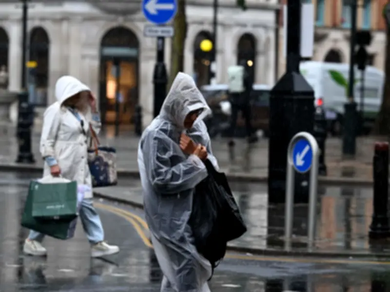
Brits are set to be battered by heavy rain later this week, with parts of the country expected to see a mixed outlook as temperatures look set to hit the mid-30s Celsius. Temperatures have been climbing after a wet and windy start to June thanks to a high pressure system over the continent, with the hottest areas being felt in the south. But low pressure fronts are continuing to move in from the Atlantic, bringing rain and heavy showers along with them to parts of the north and west. It means that although Friday could see temperatures reach the mid-30s Celsius in the south east, around 26 areas could also expect to see torrential downpours later on in the day.
Rain Forecast Details
Rain will sweep in through Thursday night across the north west of the country with a band of rain stretching from the southwest to southern parts of Scotland by around 9pm on Friday. There will be as much as 8mm of rain falling per hour in parts of northern England and central Wales. BBC weather forecaster Stav Danaos says: "Thursday night we continue with the cloud, pulses of rain in the north and the west which could be heavy with some rumbles of thunder as further pulses move in across Northern Ireland, western Scotland towards the end of the night. All areas will be mild, quite humid, mid teens across the board. Friday spot the difference, we have high pressure over the near Continent, the area of low pressure to the north west with these weather fronts, more of a breeze for Scotland, Northern Ireland, north west England, north west Wales, it is going to rain heavy and thundery. Still quite murky in south Wales, south west England, lots of sunshine in eastern England, the Midlands, the south."
Met Office Outlook
While the forecast from the Met Office reflects a similar picture stating: "It’s currently a mixed and unsettled picture across the UK, with outbreaks of rain affecting many areas on Wednesday and into Thursday. Some of this rain could be heavy, particularly across parts of the north and west, while elsewhere there will be a mix of cloud and brighter spells, with conditions remaining humid. From the end of the week, a marked north–south split develops. High pressure over mainland Europe will allow increasingly warm and humid air to build across southern and eastern areas, while lower pressure close to the northwest keeps conditions more changeable. Temperatures are expected to climb steadily, with southern parts of England approaching 30°C by Friday, depending on cloud cover, and becoming very warm more widely through the weekend. Some areas in the south and southeast of England are likely to see heatwave criteria met by Saturday and more widely on Sunday, with the potential for temperatures to reach the low 30s in the warmest locations."

Deputy Chief Forecaster Comment
And the national weather agency's Deputy Chief Forecaster, Gregory Wolverson, said: "This week’s weather reflects a contrast we often see in summer, with more unsettled conditions passing to the northwest of the UK while heat builds in the south and east. As we move towards the weekend, we’ll see conditions become more widely settled and temperatures rise all round. Many parts of southern and eastern England are likely to see temperatures high enough to meet heatwave thresholds."

26 Areas Set for Torrential Rain on Friday
- Devon
- Cornwall
- Shropshire
- Staffordshire
- Cheshire
- Merseyside
- Derbyshire
- Yorkshire
- Lancashire
- Cumbria
- Durham
- Northumberland
- Dumfries and Galloway
- Scottish Borders
- East Lothian
- Midlothian
- West Lothian
- South Lanarkshire
- Clwyd
- Dyfed
- Gwent
- Gwynedd
- Mid Glamorgan
- Powys
- South Glamorgan
- West Glamorgan