
Weather authorities are closely monitoring the Atlantic as Tropical Storm Melissa officially forms, presenting a developing situation that could impact coastal regions in the coming days.
Storm Development and Current Status
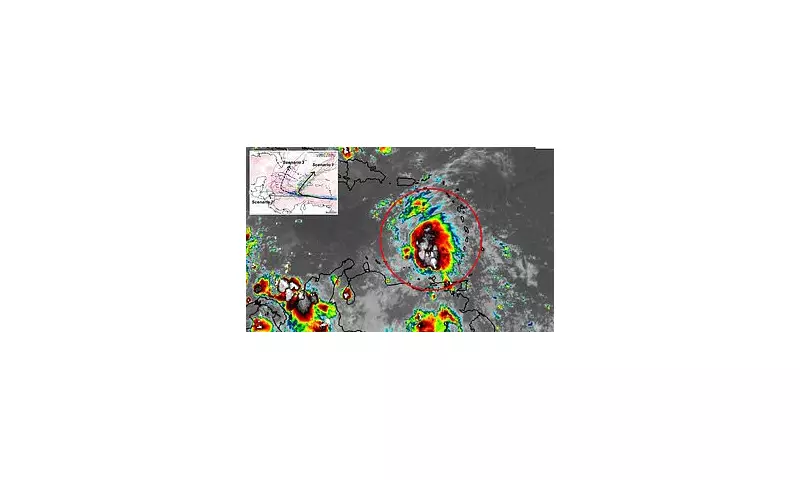
The newly designated tropical storm has begun organising in Atlantic waters, with meteorological data indicating strengthening conditions. Satellite imagery shows the system developing characteristic rotation and cloud patterns typical of tropical cyclones.
Current positioning places Melissa several hundred miles from land, giving forecasters crucial time to track its progression and potential intensification.

Forecast Models Raise Concerns
Multiple weather prediction models are now converging on scenarios that could bring the storm closer to United States coastline. The European ECMWF and American GFS models, while showing some variance in exact tracks, both suggest possible impacts for eastern seaboard regions.
Meteorologists emphasise that model consistency has been increasing over recent updates, lending greater confidence to the potential threat trajectory.
Key Factors Influencing Melissa's Path
- Upper-level wind patterns steering the system
- Sea surface temperatures providing energy
- Atmospheric pressure systems guiding direction
- Potential interaction with other weather features
Preparation Recommendations
Residents in potentially affected areas are advised to review emergency plans and monitor official updates from the National Hurricane Center. While the storm's ultimate path remains uncertain, early preparation is always recommended during hurricane season.
Essential items to check include: emergency kits, evacuation routes, communication plans with family members, and securing outdoor property that could become hazardous in strong winds.
The coming 48-72 hours will be critical for determining Melissa's intensity and precise tracking. Weather experts urge the public to rely on official sources rather than social media speculation during this developing situation.


