
Hurricane forecasters are on high alert as Tropical Storm Mario gains momentum over the open Pacific waters. The developing system is being closely tracked for potential intensification into a more formidable weather event.
The storm, currently characterised by its organised structure and sustained winds, presents a significant concern for maritime routes and, potentially, coastal areas. Meteorologists are analysing complex atmospheric data to predict its future path and strength with greater accuracy.
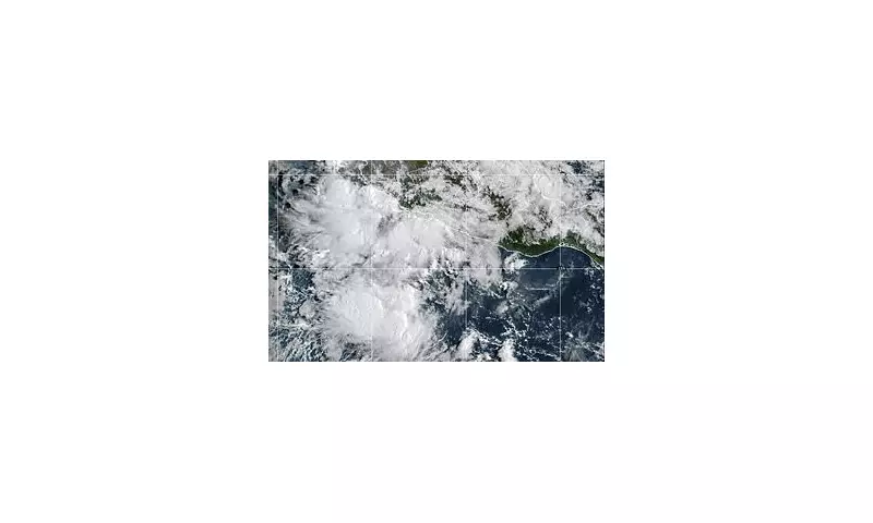
Monitoring the Storm's Development
Advanced satellite imagery and reconnaissance data indicate that Mario possesses the necessary conditions for further organisation. Forecasters are paying particular attention to sea surface temperatures and wind shear, which will be critical factors determining whether it escalates into a hurricane.

The precise trajectory remains uncertain, but several computer models are being utilised to project potential scenarios. Residents and interests in the general vicinity are advised to monitor official updates from meteorological agencies closely.
Preparedness and Safety Advice
While it is still too early to determine any specific landfall threats, the situation serves as a crucial reminder for coastal communities to review their hurricane preparedness plans. Ensuring emergency kits are stocked and evacuation routes are known is paramount.
Forecasters emphasise that all interests in the region should stay informed through official channels and heed any warnings or watches issued by the National Hurricane Centre or local authorities in the coming days.


