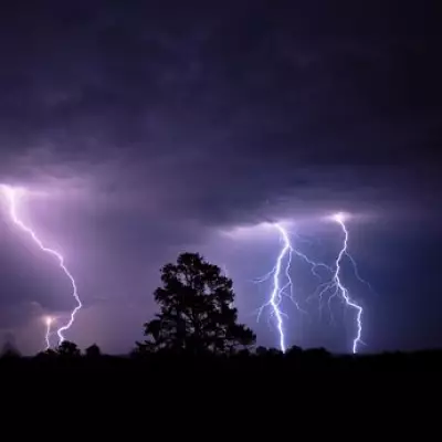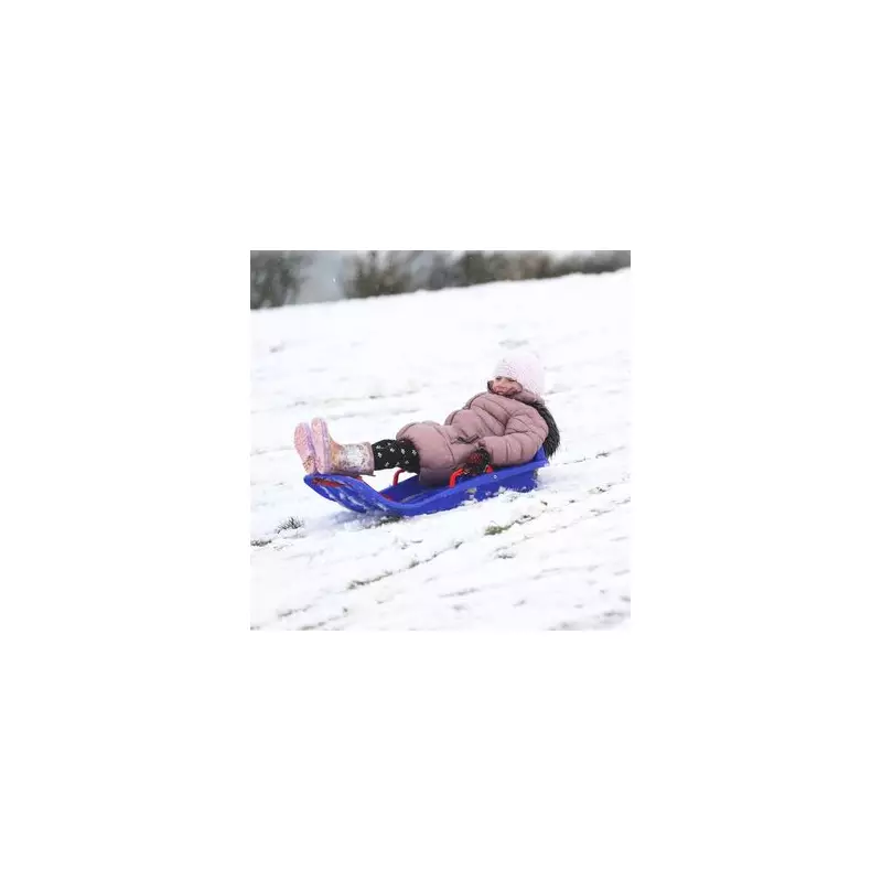
Britain is bracing for a dramatic festive chill as new weather data indicates a strong possibility of snow falling on Christmas Day. Forecasters are tracking a biting Arctic air mass set to sweep across the country, threatening to deliver a white Christmas to several regions.
Snow Maps Paint a Festive Picture
Detailed analysis from meteorological service Metdesk, visualised on the Ventusky website, shows wintry showers pushing as far south as East Sussex in the early hours of December 25th. The data, sourced from a high-resolution computer model used by the US National Weather Service, suggests snow could persist throughout the day across areas including south Wales, South Yorkshire, West Yorkshire, Lancashire, and County Durham.
According to the maps, the heaviest accumulations are expected over the Yorkshire Dales and across Fife in Scotland. This forecast represents a significant shift from earlier predictions and is driven by a low-pressure system moving in from the east, rather than the west as previously anticipated.

A Deep Freeze Set to Grip the Nation
Meteorologist Nick Finnis of NetWeather explains that the cold air originating from Greenland will cause temperatures to plummet. He noted on the forecaster's blog that one computer run showed temperatures potentially sinking to between -8°C and -9°C across England and Wales on Christmas Day.
While daytime temperatures on the 25th may hover around 2°C to 3°C, strong easterly winds will make it feel significantly colder. In exposed areas like Cumbria and the Yorkshire Dales, it could feel as cold as -5°C. The Met Office has also updated its outlook, warning of overnight frost and fog, or freezing fog, becoming more prevalent as temperatures fall closer to seasonal averages.
Contrasting Forecasts and Unsettled Lead-Up
This new, colder scenario contrasts sharply with the Met Office's earlier assessment that a widespread white Christmas was unlikely. The weather service now acknowledges the potential for "isolated showers to eastern parts, that could perhaps be wintry at times."
The shift towards festive frost comes after an unsettled week. The Met Office recorded a balmy 13.2°C in East Malling, Kent, on Wednesday, December 17th, but heavy rain has since drenched parts of the country, with over 50mm falling in south Wales. As the low pressure establishes itself, the UK faces a windy and markedly colder Christmas period, offering a slim chance of snow for hopeful children and a definite need for extra layers for everyone venturing out.