
Storm Goretti has begun battering Britain with winds of up to 100mph, prompting a rare red weather warning from the Met Office for Cornwall and the Isles of Scilly. The warning, in effect from 4pm to 11pm on Thursday, warns of 'dangerous, stormy' gales posing an immediate danger to life from flying debris.
Emergency alerts have been issued to mobile phones in the affected areas, with a loud siren-like sound lasting about 10 seconds. The Cabinet Office confirmed the first alert was sent at approximately 3pm to the Isles of Scilly, and a second will follow at 5pm for Cornwall. This is only the fifth time such alerts have been used.
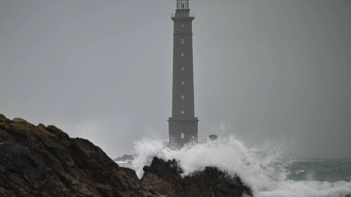
Met Office Chief Forecaster Neil Armstrong said: 'Storm Goretti will bring exceptionally strong gusts in the Red warning area which could reach 100mph or more. Winds are expected to increase rapidly with violent gusts that may persist for 2-3 hours before easing.' The storm, named by French meteorological agency Meteo France, has already hit northwest France.

In addition to wind, the storm is bringing heavy snow to Wales, the Midlands and parts of northern England, with accumulations of 10-15cm widely expected and up to 30cm possible on higher ground. An amber warning is in place for Thursday night into Friday morning. The public is advised to keep up to date with forecasts and local authority messages.


