
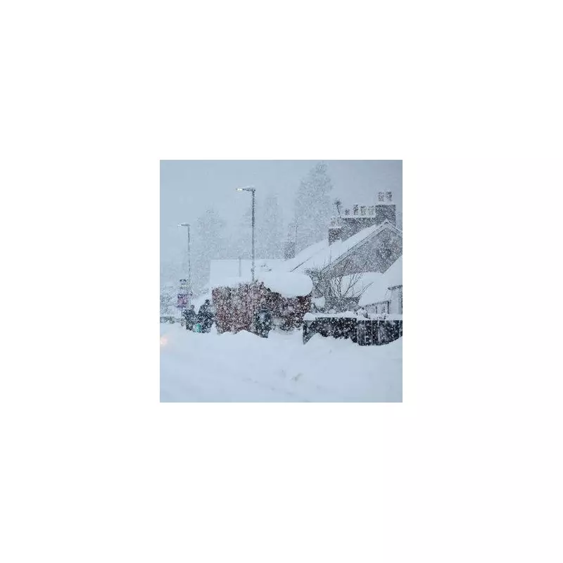
The Met Office has issued a detailed warning for nine English counties in the Pennines region, where blizzard conditions are anticipated to develop early next week. Forecasters indicate that snowfall is likely on Monday as a weather system moves in from the west, interacting with colder air over elevated terrain.
Weather Front to Bring Wintry Showers
Meteorologists predict that Monday will begin relatively settled across much of Britain, though fog patches may affect commuters heading to work. However, as the day progresses, a new weather front is expected to arrive from the west, initially bringing rain to Northern Ireland and western areas.
In an official update, the Met Office explained that when this frontal system meets the colder air mass pushing westwards from the east over northern Britain, snow is likely to form along the leading edge, particularly over higher ground. This includes prominent upland areas such as the Pennines and Scottish Highlands.

Counties at Risk of Snowfall
The Pennines, often described as the "backbone of England," traverse multiple northern counties. The following areas have been identified as potentially experiencing snowfall:
- Northumberland
- Cumbria
- Durham
- Yorkshire
- Lancashire
- Greater Manchester
- Cheshire
- Derbyshire
- Staffordshire
Historical Weather Patterns and Flooding Risks
Netweather's Ian Simpson noted that current weather patterns bear resemblance to those observed in late January 2014. During that period, a pronounced Scandinavian blocking high was present, but instead of bringing cold easterly winds, low-pressure systems from the North Atlantic became stalled to the west and south-west of Britain.
This led to a mild and exceptionally wet regime for much of the country, with significant snowfall limited mainly to the Scottish Highlands. Simpson warned that if similar patterns persist through the remainder of January and into February, there is a growing risk of flooding, especially in western and southern regions of Britain.
Some forecast models suggest that parts of south-west England could receive over 100mm of rain in the next ten days, exacerbating concerns about saturated ground and potential flood damage.
Further Weather Uncertainties
The Met Office has cautioned that while there is still some uncertainty in the forecast, another deep area of low pressure could approach the south-west of the UK by Tuesday morning. This system might bring very wet and windy conditions to areas already affected by stormy weather throughout January.
Alternative scenarios could see the low-pressure system track further south, which would reduce the likelihood of impactful weather for the UK. Nevertheless, residents in the identified counties are advised to stay updated with the latest forecasts and prepare for potential travel disruptions due to snow and icy conditions.


