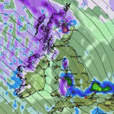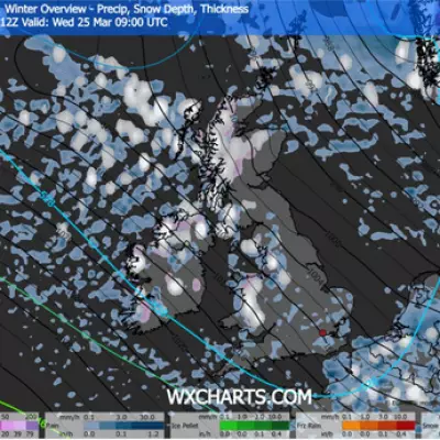
The Met Office has delivered a sobering verdict for those dreaming of a festive blanket of snow, stating that a widespread white Christmas is now looking increasingly unlikely.
Temperature Plunge on the Way
Despite a significant drop in temperatures expected over the coming days, the meteorological conditions are not aligning for snowfall on December 25th. The UK is set to feel a marked chill, particularly overnight, as a strong easterly wind establishes itself. This is a stark contrast to the balmy 12.8C recorded in Brize Norton, Oxfordshire, on Monday, with daytime temperatures forecast to hover near freezing over the weekend.
Met Office meteorologist Annie Shuttleworth confirmed the bleak outlook for snow lovers, stating: "There is a very low chance of any widespread white Christmas at all at this time in any of these outcomes." She explained that various computer models for Christmas Day consistently show high pressure dominating the UK, which typically brings settled, dry conditions with little prospect of rain or snow.
Flood Risk Persists Before Festive Calm
Before any settled weather arrives, parts of the country are still grappling with a wet and windy December. Further rain is expected across southern England and Wales, with the Met Office issuing a weather warning due to the ongoing risk of flooding. The agency warns that 15-25mm of rain could fall widely, with up to 40-60mm possible over the high ground of south Wales and Dartmoor.
This follows a period of significant rainfall that has already caused disruption. Several flood warnings remain in place, including for the River Severn at Severn Ham, Tewkesbury in Gloucestershire, and the River Clyst in Devon. The situation is a reminder of the wet start to the month, which led to flooding in parts of south Wales.
Bookmakers Widen the Odds
The latest meteorological data has prompted bookmakers to adjust their betting odds for a white Christmas. Last week, odds had shortened to evens at Aberdeen Airport and 6/4 at Edinburgh Airport, but the new forecasts are likely to see those odds lengthen significantly.
Historically, the UK experiences snow on Christmas Day approximately once every four years. However, the official Met Office definition of a white Christmas—the observation of a single snowflake falling—is met more frequently in Scotland than in southern parts of the country.
Ms Shuttleworth summarised the overall trend, noting: "It is nothing exceptionally cold, but what we can expect is a general downtrend in temperatures." The shift in wind direction will be the driving force behind the cooler conditions, with western parts of the UK feeling the brunt of the chill at the start of next week.


