The Met Office has said there could still be a considerable amount of "mild" weather on the way as the UK moves towards the winter season.
Much of the country woke up to foggy conditions this morning, though these should largely clear by this afternoon. Following this, the majority of the UK will remain dry with sunny intervals, albeit feeling cold. Clearer skies can then be expected across central and northern areas overnight, with "cloudier, breezier and milder conditions spread across southern parts with rain arriving".
Tuesday's Outlook
Tomorrow, Tuesday, should see cloud and rain gradually push northwards across parts of England and Wales, turning locally heavy in the south west later in the day. Elsewhere, many areas will remain dry with bright spells to follow.
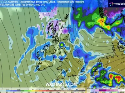
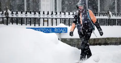
In its outlook for Wednesday to Friday, the Met Office notes that spells of rain will persist across the south through the middle of the week, while colder conditions develop further north with showers, some turning wintry, and frosts becoming increasingly widespread towards the end of the period.
More Mild Weather Predicted
Looking further ahead, meteorologists have outlined when and where more mild weather might be expected, despite this being unusual for the time of year. For the period covering Friday, November 13, to Sunday, November 22, the Met Office forecasts "widely settled conditions and overnight frost" in the first instance.
Isolated showers remain possible, predominantly across northern and western Scotland and briefly along stretches of the North Sea coastline. As the weekend draws to a close, low-pressure systems sweeping in from the North Atlantic will bring wetter, windier, and far more widespread unsettled conditions.
Weather is likely to remain changeable throughout the remainder of the period, switching between spells of rain and brighter intervals with scattered showers. However, the Met Office forecast for this timeframe adds: "Whilst colder conditions will be possible at times, especially at first, it will often be mild, with temperatures near or a little above average for the time of year."
Longer-Term Forecast
For the period between Monday, November 23, and Monday, December 7, changeable weather can be expected "as Atlantic frontal systems track close to or across the UK at times". This will most likely bring spells of rain and strong winds, punctuated by brighter, more showery breaks.
That said, "temperatures will often be mild, particularly away from the far north west where brief colder interludes are possible". While confidence remains limited, low-pressure systems may push further south towards the end of the period.
Should this occur, central and southern parts of the UK could still experience occasional rainfall, while northern regions are likely to turn somewhat drier and potentially colder.