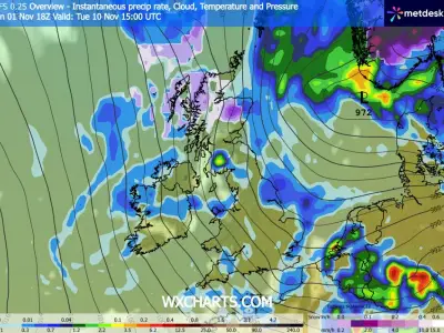
The polar vortex has weakened and briefly split into two smaller circulations, raising the possibility of snow in eastern parts of the UK, according to a BBC weather expert. The event is described as the earliest on record in 75 years of observations, with most experts agreeing it is very unusual.
Polar vortex weakens and splits
Simon King, a meteorologist with the BBC, wrote in the weather blog that powerful winds usually circle the North Pole each winter, helping trap some of the coldest air on Earth. However, this circulation has weakened and shifted position in recent days.
King explained that most sudden stratospheric warming (SSW) events tend to occur from mid-winter, but forecasters are currently witnessing a dramatic weakening of the strong winds, with some forecasts showing a reversal of the polar vortex winds by mid-November. Due to this weakening, the vortex has stretched and split into two smaller circulations around the Arctic. If the winds continue to weaken and reverse as forecast, it would be known as a major SSW event.
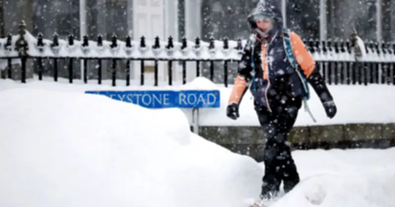
Snow risk for eastern UK
King noted that disturbances in the atmosphere can trigger a rapid rise in temperatures high above the Earth, weakening the powerful winds that make up the polar vortex. During an SSW event, these strong westerly winds can even reverse direction and become easterlies.
He wrote: "In the following days and weeks these changes can alter the position of the jet stream, increasing the chance of a blocked weather pattern where it can become drier with a colder northerly or easterly wind bringing Arctic air in. It can also boost the possibility of snow, especially in eastern UK."
Forecasters surprised by early event
Separately, long-range forecasts from the Met Office had pointed towards a turbulent start to winter in the UK, with colder conditions becoming more likely later in the season, a pattern broadly in line with El Niño expectations. However, the prospect of an SSW event occurring this early was not widely anticipated by forecasters.
Met Office presenter and meteorologist Aidan McGivern added: "El Niño is basically enhancing the waves that go on in the troposphere, the wriggly jet stream. Those waves can then propagate upwards into the stratosphere, knocking, bumping and disturbing that circle of winds around the polar stratosphere, causing it to be displaced, pushed off the pole, deformed or even split."
Jeff Knight, lead climate scientist from the Met Office, told the BBC: "It would appear to be the earliest on record looking back over the 75 years we've been observing…with most experts agreeing this is a very unusual event."