
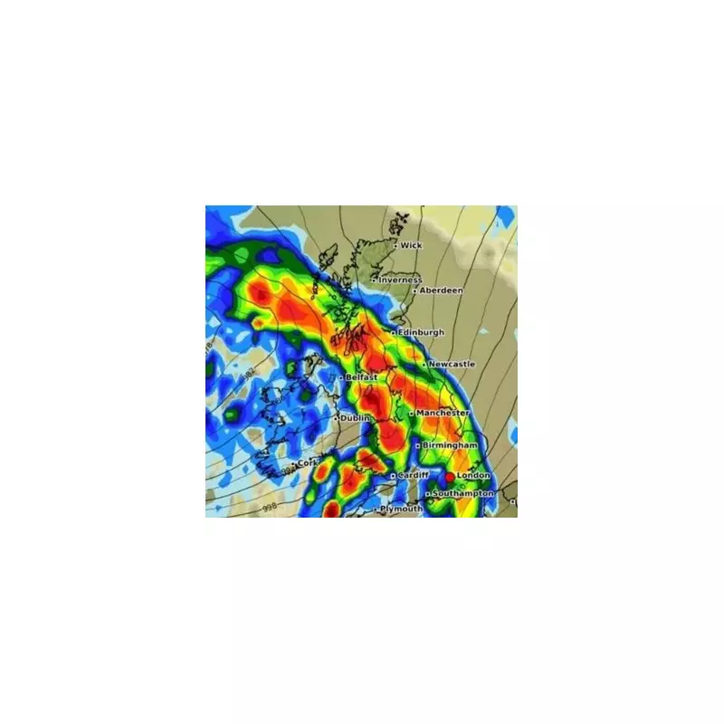
The Met Office has issued a stark warning that Britain is facing an unprecedented weather event that will effectively make the country disappear beneath a thick blanket of snow later this month. Forecasters predict temperatures will plummet to a bone-chilling -10°C as an Arctic vortex descends upon the UK.
Meteorologists have pinpointed the exact dates when the freezing conditions will peak, with February 28th through March 2nd expected to bring the most severe conditions. The freezing onslaught is predicted to dump up to 20cm of snow across widespread areas, particularly affecting northern regions and higher ground.
The Arctic Onslaught Timeline
According to detailed meteorological models, the freezing conditions will arrive in waves:

- Initial Wave (Late February): Cold air begins pushing southwards from the Arctic
- Peak Freeze (February 28 - March 2): Temperatures drop to -10°C with heaviest snowfall
- Prolonged Cold Spell: Sub-zero conditions expected to persist for several days
Regional Impact Assessment
The Met Office has highlighted particular concern for:
- Scottish Highlands: Up to 20cm accumulation expected
- Northern England: Significant disruptions to travel likely
- Wales: Higher elevations facing substantial snowfall
- Central and Southern England: Milder but still affected by freezing conditions
Weather expert James Madden of Exacta Weather provided additional insight: "We're looking at one of the most significant snow events this winter. The combination of Arctic air and moisture will create perfect conditions for widespread, heavy snowfall that could effectively shut down parts of the country."
Travel and Safety Warnings
Transport authorities are preparing for major disruptions as the severe weather approaches. Motorists are being advised to:
- Avoid non-essential travel during peak snowfall periods
- Carry emergency supplies if journeying is necessary
- Prepare for potential road closures and public transport cancellations
The Met Office emphasizes that this weather event could bring dangerous travel conditions and potential power disruptions, urging the public to monitor forecast updates closely.


