
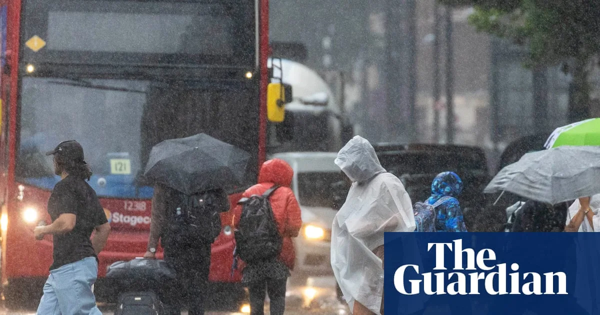
The Met Office has issued an amber thunderstorm warning for London and much of south-east England, with heavy rain expected to bring a risk of “fast flowing or deep flood water” that could pose a danger to life. The warning is in place from 4am to 11am on Saturday, as storms move in from France and could lead to significant surface water flooding, particularly in urban areas.
Yellow thunderstorm warnings are also in effect across much of England until 9pm, with 15 to 25mm of rain possible within an hour. Scotland is covered by a yellow rain warning from 4pm on Saturday until midday on Sunday. The Met Office said flooding of homes and businesses was likely and could happen quickly, with some communities potentially cut off if roads become impassable.
Under the amber warning, 20 to 40mm of rain could fall in an hour, and as much as 70 to 100mm could accumulate in just a few hours where heavy downpours persist. Forecasters have urged motorists to take care, noting that the weekend is expected to be busy on the roads as many schools in England and Wales break for the summer holidays.
Met Office chief meteorologist Andy Page said the situation was evolving and warnings might be changed or added. He added that there would be spells of more pleasant weather in parts of the UK, with sunny intervals between systems. Temperatures are expected to remain in the high teens to low 20s Celsius under persistent cloud and rain, though brighter spells in the south could bring mid to high 20s.
The amber warning is the first for London since January 2024, when Storm Henk swept through central England and Wales. It follows England's hottest June since records began in 1884. Scientists noted earlier this week that record-breaking extreme weather had become the new norm in the UK, with climate change driven by carbon pollution from fossil fuels altering weather patterns in recent decades.




