
UK Flood Alert Map: Hundreds of Warnings Issued as Heavy Rain Batters South
The United Kingdom is bracing for significant flooding on Monday, with hundreds of alerts and warnings in place as the Met Office issues a weather warning for heavy rain. Bands of intense rainfall are set to impact parts of southern England and Wales, prompting concerns over travel disruption, property damage, and potential power supply interruptions.
Met Office Issues Yellow Warning for Southern Regions
The Met Office has activated a yellow weather warning for Monday afternoon and evening, forecasting at least 10 to 15mm of rain widely, with 20 to 30mm expected in areas exposed to strong south to south-easterly winds. Showers are moving in an easterly direction, targeting regions already saturated from a persistent rainy spell. The forecaster warns that flooding on roads could severely disrupt bus and train services, while homes and businesses may also be affected. There is an additional risk of some interruption to power supplies, adding to the potential hazards.
Environment Agency Details Flood Hotspots
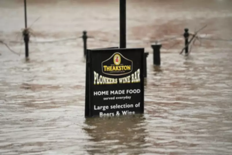
Meanwhile, the Environment Agency has issued 108 flood warnings, where flooding is expected, and 218 flood alerts, where deluge is possible, across England. A map highlights south Wiltshire and Dorset, along with parts of Gloucestershire and the West Midlands, as hotspots for flooding possibilities. In contrast, Scotland has only two flood alerts and four warnings in place, while Wales has seven alerts active. This disparity underscores the localized nature of the weather event, with southern areas bearing the brunt of the impact.

Record-Breaking Rainfall Continues Unsettled Pattern
The UK continues to face a persistently wet period, after the Met Office confirmed last week that rain had been recorded on every day of the year so far. Following 36 consecutive days of rain, Met Office spokesperson Stephen Dixon noted, "Rain has been reported somewhere in the network every day of the year so far. While amounts are trivial on some days, and some areas will have seen dry days, the UK has seen a wet start to the year, particularly in Northern Ireland and southern England." He attributed this to a succession of fronts or low-pressure systems arriving from the west, bringing heavy rain and damaging winds, with little sign of a let-up in the forecast.
Northern Ireland recorded its wettest January in 149 years, the second wettest on record after Storm Chandra brought record-breaking rainfall across multiple UK sites. Katesbridge in County Down recorded a staggering 100.8mm of rain, far surpassing the previous site record of 38.2mm from 2005, on 26 January. Other notable records include Dunkeswell Aerodrome in Devon reaching 52.8mm, while Hurn in Dorset, Cardinham in Cornwall, and Plymouth Mountbatten in Devon all exceeded their previous daily records.
Weekly Weather Forecast: More Rain Ahead
The Met Office forecast for the week indicates ongoing unsettled conditions. Monday begins grey for many with outbreaks of rain and drizzle, staying largely cloudy with some brighter spells possible. Heavy rain and strong winds will push into the South West, with a risk of flooding, and conditions will remain rather mild in the South. Tonight, cloudy skies persist with further outbreaks of rain, though heavy rain and strong winds will gradually ease in the South West.
Tuesday will see another dull start with outbreaks of rain and drizzle, followed by a spell of heavy rain moving into the South, then sunshine and showers. Cloudy and damp conditions will prevail elsewhere. The outlook for Wednesday to Friday remains unsettled at first with further outbreaks of rain for many, turning colder and brighter on Friday with a chance of snow showers, particularly in the North and East.


