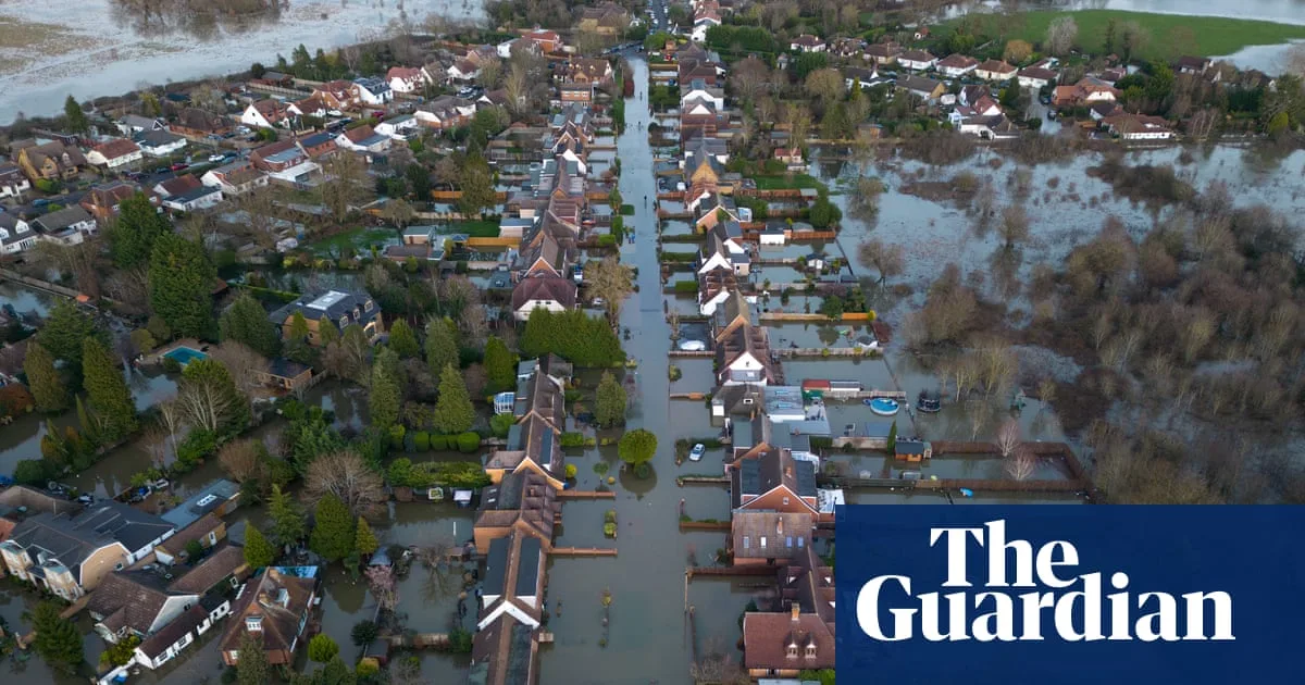
Millions of homes across England, Scotland and Wales are facing a greater risk of devastating floods, with some towns potentially having to be abandoned as climate change makes many areas uninsurable, according to a Guardian investigation.
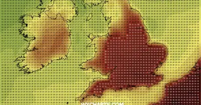
New analysis from insurer Aviva reveals that every parliamentary constituency in Great Britain is projected to see an increase in flood risk. In England, the number of properties at risk could rise by 27%, from 6.3 million to 8 million, by mid-century.
Tenbury Wells in Worcestershire has become the first town in the UK where public buildings are uninsurable. Deputy mayor Lesley Davies said the town had been hit four times in six years, adding: “We do feel abandoned. We are the blueprint for what could happen in the future.”

Densely populated areas including London, Manchester and parts of north-east England are likely to be worst hit. London constituencies such as Bermondsey and Old Southwark could see 90% of homes at risk from river and coastal flooding by 2050.
Surface-water flood risk is expected to rise sharply in urban areas, with 14 London constituencies in the top 20. Bournemouth East shows the largest projected increase due to low-lying topography and inadequate drainage.
Emma Boyd, former chair of the Environment Agency, said it may be too expensive to protect some areas, suggesting they might have to be abandoned as resources become constrained.