
Tropical Storm Karen, which prompted alerts along the US Gulf Coast, has weakened but continues to pose a threat of heavy rain and potential flooding, according to the National Hurricane Center.
As of 09:00 GMT, the storm's maximum sustained winds had dropped to 40mph (64km/h), and forecasters do not expect it to strengthen further. The centre of the storm is predicted to approach the south-east Louisiana coast on Saturday night.
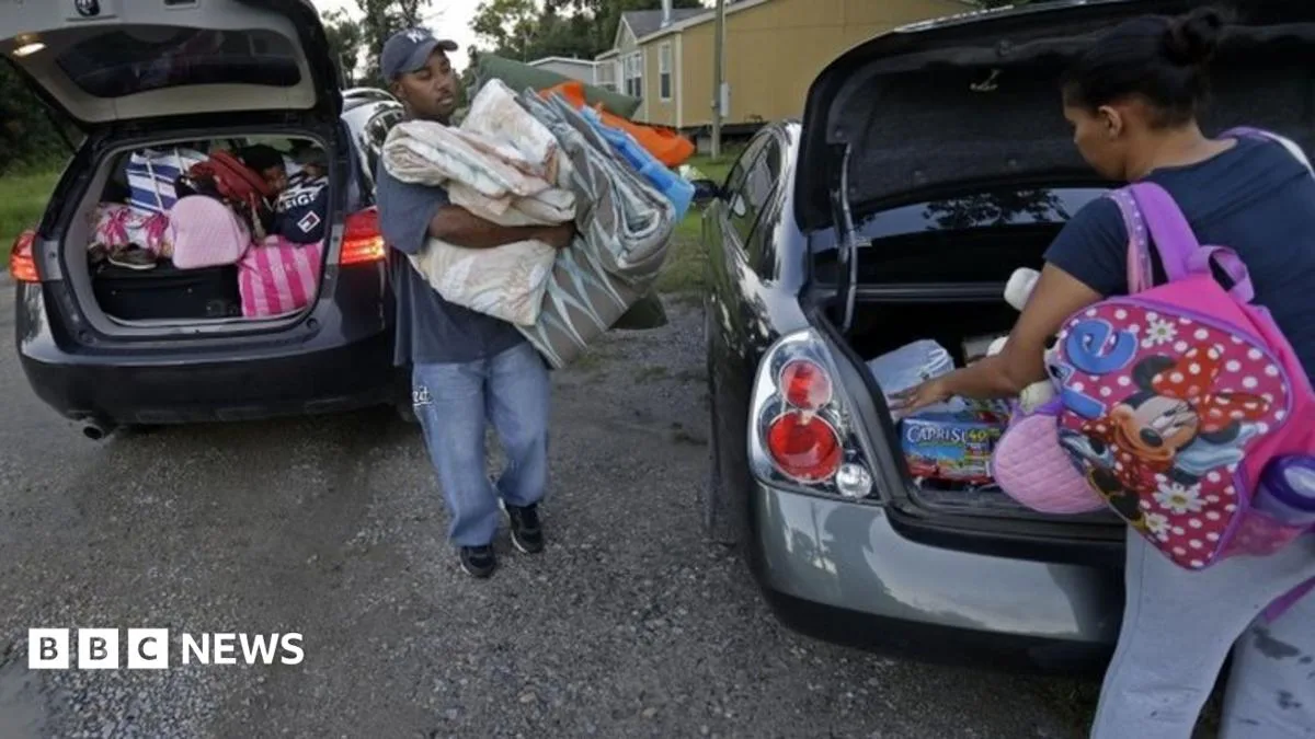
Karen is the first storm to threaten the coast this Atlantic hurricane season. Despite its weakening, preparations were underway, with residents in low-lying areas of south-east Louisiana moving boats and crab traps to higher ground.

Alabama joined Louisiana, Mississippi and Florida in declaring a state of emergency. Oil platforms in the Gulf of Mexico shut down production as a precaution, and federal emergency agencies recalled workers who were on leave due to the government shutdown.


