
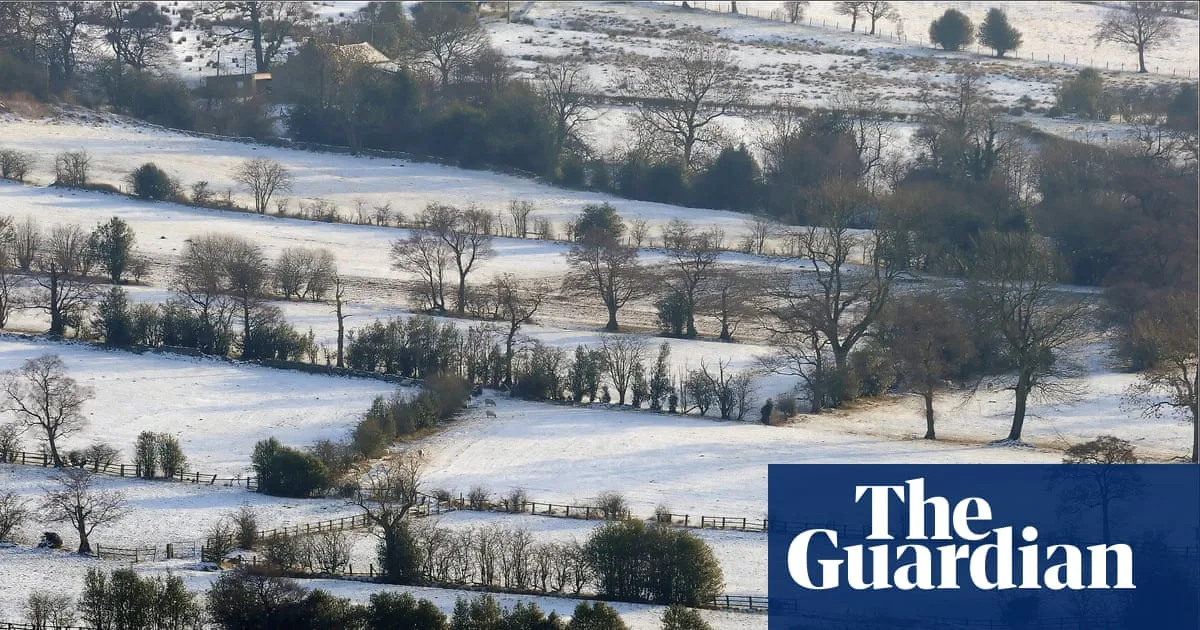
The Met Office has issued a white Christmas warning, with snow and ice expected to affect parts of the UK. While many areas may experience showers, high pressure is building, bringing drier and more settled weather to some regions. A strong easterly breeze will make it feel colder, with temperatures on Christmas Day reaching a daytime high of 7°C and dropping to -3°C or -4°C at night.
The south coast of England, particularly South Devon and Cornwall, has the greatest chance of seeing an 'odd wintry flurry,' according to Met Office meteorologist Marco Petagna. Technically, a white Christmas requires just one snowflake to fall anywhere in the UK. Snow has fallen on Christmas Day 54 times in the past 66 years, and every year since 2020 has been deemed 'white' except for 2024.
However, significant snowfall is unlikely this year, with only a 10% chance of noteworthy snow. A thick blanket of snow at Christmas has occurred only four times since 1960—in 1981, 1995, 2009, and 2010. The last widespread snow cover was in 2010, when 83% of weather stations reported snow on the ground.
Historically, harsh winters were more common during the Little Ice Age (16th–19th centuries), which may explain references to cold and snowy Christmases in Charles Dickens' writings. More recent severe winters include 1946–47 and 1962–63, when much of England remained snow-covered from late December to early March.
Climate change has made Decembers warmer in recent decades, reducing the overall chance of snowfall on Christmas Day, though natural variability can still bring cold spells. Most UK snow days occur between January and March, as noted by the Met Office.




