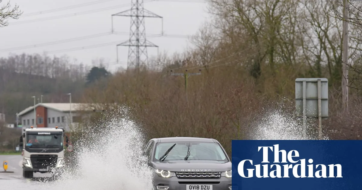
Flood warnings remain in place across parts of England, with the Environment Agency issuing 73 warnings where flooding is expected, mainly in the south-west and Midlands. A further 177 flood alerts, indicating possible flooding, are active, while Natural Resources Wales has two alerts in South Pembrokeshire and the Lower Severn catchment in Powys.
The Met Office forecasts blustery showers spreading across many areas overnight on Sunday, with frost in the north and chilly temperatures. Monday will bring sunny spells and showers, with some heavy rain and a risk of hail and thunderstorms, along with snow showers in the far north. Tuesday is expected to be largely drier and brighter.
For Wednesday and Thursday, there is a risk of rain and snow in the south, while the north should stay mostly dry, according to the Met Office. While no weather warnings are currently in place, forecasters said they may need to issue them as conditions evolve later in the week.
Provisional statistics show Northern Ireland experienced its wettest January in 149 years, while southern England had its sixth wettest since records began in 1836. Parts of Devon, Cornwall and Worcestershire recorded rainfall for 40 consecutive days, and the recent storms Goretti, Ingrid and Chandra have caused flooding in several regions, including Devon and Somerset.
The wet weather is expected to continue into next weekend, with longer spells of rain predicted on Friday and over the weekend. The Met Office said conditions would remain unsettled, though drier interludes are possible between weather systems.