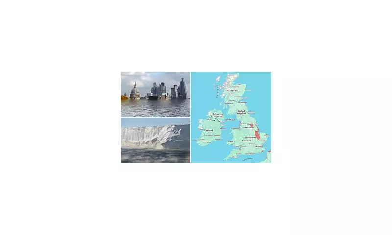
A chilling new digital tool has laid bare the catastrophic threat posed by rising sea levels to the United Kingdom's cherished coastline. The interactive map, developed by leading climate scientists, projects a future where vast swathes of the nation could be permanently underwater if global carbon emissions continue unchecked.
The projections, based on data from the non-profit organisation Climate Central, illustrate the potential impact by the year 2100. The visualisations present a sobering picture for some of Britain's most iconic locations, transforming familiar landscapes into unrecognisable aquatic scenes.
Which UK Areas Face the Greatest Threat?
The data suggests that numerous low-lying coastal regions are acutely vulnerable. The map indicates that significant portions of London, including the historic Houses of Parliament and the South Bank, could be lost to the Thames if defences are not significantly enhanced.
Beyond the capital, the research highlights extreme risk to coastal communities across the UK. The map forecasts severe inundation in:
- Humberside: Large areas of Hull and Grimsby are projected to be below the annual flood level.
- South Wales: Cardiff's waterfront and the low-lying Somerset Levels face existential threats.
- Norfolk and Suffolk: The East Anglian coast, with towns like Great Yarmouth and King's Lynn, is exceptionally susceptible to erosion and flooding.
- The Scottish Central Belt: Parts of Edinburgh and Glasgow situated near river estuaries are also in the danger zone.
A Stark Warning and a Call to Action
This isn't merely a prediction for a distant future. The scientists behind the tool stress that the choices made today will directly influence this outcome. The model shows two pathways: one where rapid, drastic cuts to greenhouse gases significantly reduce the scale of inundation, and another, based on current pollution trends, that leads to widespread submergence.
The primary driver of this looming crisis is the melting of polar ice sheets and glaciers, compounded by the thermal expansion of seawater as it warms. This interactive tool serves as a powerful visual aid to help the public and policymakers understand the tangible consequences of climate inaction.
While the map provides a broad overview, it is a stark reminder of the urgent need for robust coastal defence planning, sustainable development, and most critically, a global commitment to reducing carbon emissions to safeguard the UK's future.


