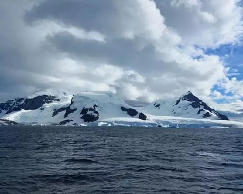
In a pioneering effort to understand climate change's impact on our oceans, scientists have meticulously mapped the hidden canyons of Antarctica's seafloor. This groundbreaking research could revolutionise our ability to predict how warming waters affect global ocean currents and ice shelf stability.
The Hidden World Beneath Antarctic Ice
Using advanced sonar technology and autonomous underwater vehicles, researchers have revealed a complex network of submarine canyons along the Antarctic continental shelf. These underwater valleys, some stretching hundreds of kilometres, play a crucial role in directing the flow of warm water towards vulnerable ice shelves.
Why This Matters for Climate Science
The newly created maps show:
- How deep ocean currents interact with the continental shelf
- Pathways for warm water that accelerates ice melt
- Previously unknown connections between ocean basins
Dr. Eleanor Voss, lead oceanographer on the project, explains: "These canyons act like highways for warm water. Understanding their layout helps us predict which glaciers are most at risk from ocean-driven melting."
A New Tool for Climate Predictions
The research team combined their seafloor mapping with climate models to demonstrate how different warming scenarios might affect ice melt rates. Their findings suggest that certain regions of Antarctica may be more vulnerable to climate change than previously thought.
Key discoveries include:
- Some canyons funnel warm water directly beneath major ice shelves
- Undersea ridges provide natural protection for some glaciers
- Current climate models may underestimate melting in specific areas
This research comes at a critical time as scientists work to improve the accuracy of sea-level rise projections. The detailed maps will be made publicly available to support future climate studies and policy decisions.


