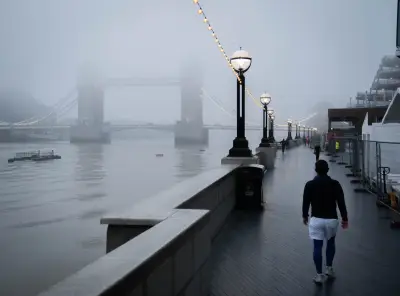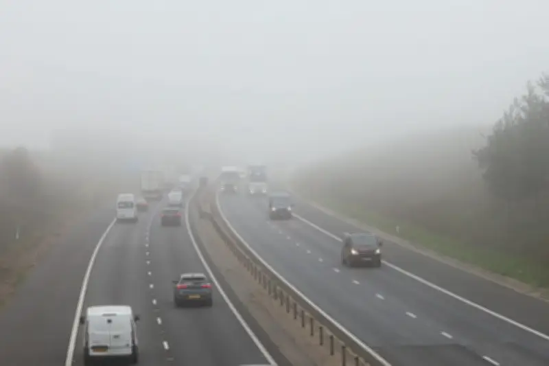
A yellow fog warning has been issued for parts of England and Wales, with the Met Office forecasting a “night of dense fog” and possible transport delays.
The warning is in force from 6pm on Monday to 10am on Tuesday, covering an area that stretches from Luton to Manchester and includes parts of central and northern England and Wales.
Visibility below 100 metres
The Met Office has said slower journey times and delays to public transport are possible, along with a chance of delays or cancellation of flights.
Fog is expected to develop across the warning area on Monday evening and will become dense at times overnight, with visibility reduced to less than 100m, according to the forecaster.
It will thin and clear during Tuesday morning, but will give way to cooler and frosty weather later in the week.
Forecasters explain the conditions
Met Office chief meteorologist Jason Kelly said: “Persistent high pressure has brought light winds and clear skies, allowing fog to form, while weak November sunshine has meant it is fairly slow to clear.
“We’re expecting one more night of dense fog, with a warning in place for some areas. Increasing cloud and wind should then limit further widespread fog from developing.”
Met Office meteorologist Aidan McGivern said in the daily video forecast that the poor visibility during Monday is “thickening overnight”.
He added: “Yellow fog warning in force for parts of central England, North Wales, northern England, East Anglia, because of the possibility of visibilities getting below 100 metres.”
Cold night and rain expected
McGivern warned of “freezing fog patches” for central and southern Scotland, adding: “And it’s a cold night in the northern half of the UK, with temperatures widely in the low single figures, and in some sheltered spots where we get the clear skies, minus three to minus five celsius.
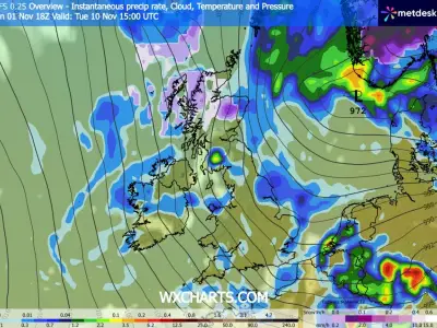
“Outbreaks of rain, meanwhile, turn up in the far north of Scotland. This is a cold front, which will introduce colder air through the week across many parts of the UK.
“But in the meantime, this weather front, an occluded system, is moving into the South and South West, and that’s going to lead to a wet start to the day (Tuesday) for the south-west of England, and that rain eventually pushing into the South and central part of Wales, other southern coastal counties of England.”
Cloud and outbreaks of rain will spread north across much of England and Wales on Tuesday, the Met Office has said, with “heavier bursts” possible in the South West later in the day.