
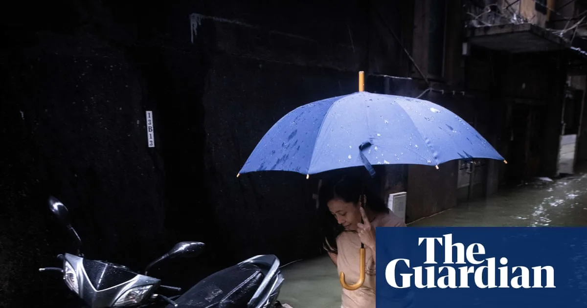
Clean-up operations are underway in southern China and Hong Kong after Super Typhoon Ragasa, the most powerful tropical cyclone of the year, caused widespread flooding and damage. The storm left 25 dead in Taiwan and the Philippines before battering the Chinese mainland.
In Guangdong province, more than 2 million people were evacuated ahead of the storm. Crews used excavators to clear thousands of toppled trees and unblock roads. Over 56,000 households in the province lost power by Wednesday night. In Yangjiang, more than 50,000 trees were destroyed, while in Zhuhai, rescuers used inflatable boats to help stranded residents.
Hong Kong resumed international flights on Thursday, but kindergartens and some schools remained closed. The airport authority said airlines would gradually resume flights from 6am local time, with all three runways operating. More than 100 people were injured in Hong Kong.

In Macau, social media videos showed residents fishing in flooded streets, using nets and dustpans to catch fish swept away by the storm. Authorities had warned people to stay indoors.
Ragasa, which peaked with winds of 165 mph (265 km/h), has weakened to a tropical storm and is moving west along the southern Chinese coast towards Vietnam. Vietnam’s prime minister has ordered officials to protect infrastructure, secure fishing vessels, and prepare search and rescue operations. Some flights have been cancelled or rescheduled.


