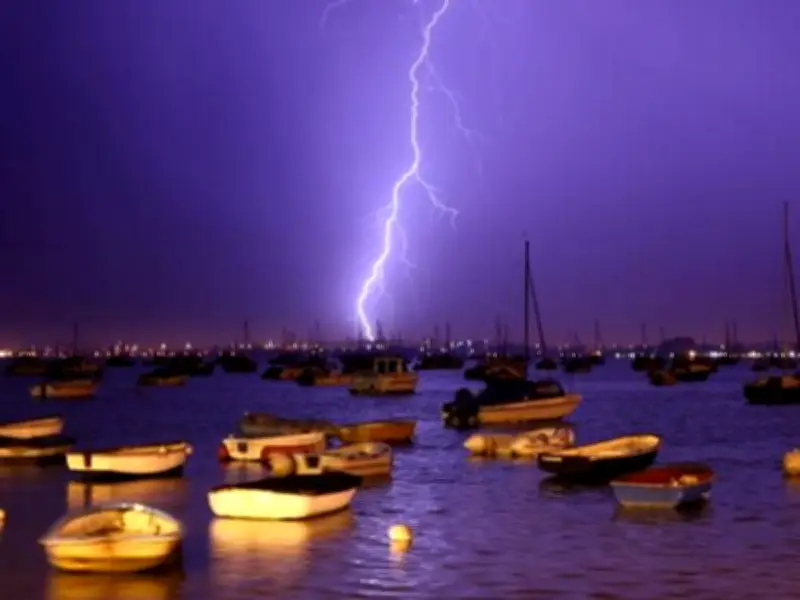
Storms to break the heatwave
Fierce thunderstorms are set to bring an abrupt end to weeks of blistering sunshine as a low-pressure system pushes across the UK from the southwest on Tuesday 4 August. Most counties nationwide recorded less than 1mm of rain during July, with over half of England and all of Wales now officially declared drought zones.
According to weather experts at Ventusky, the low pressure will deliver torrential downpours to northern regions while southern areas face scattered showers. The system will also usher warmer, more muggy conditions back across England and Wales, with temperatures likely climbing beyond 30C again in some locations.
When and where thunderstorms will hit
Maps indicate that around 4am, parts of Northern Ireland could see electrical activity. Cumbria and northeast England may also encounter lightning strikes alongside heavy downpours, as low pressure blankets much of Scotland.
By 7am, the downpours will shift towards north Wales, with thunderstorms also anticipated across parts of northwest England. The wet start to Tuesday will affect portions of the Midlands and stretch as far south as Devon and Hampshire.
The 10am charts indicate thunderstorms could strike areas of Cumbria and again hit Scotland as rainfall sweeps across eastern England, with regions including Berkshire and Birmingham forecast to experience some rain. By 4pm, storms may return across the Irish Sea, with data suggesting Belfast could be battered by thunderstorms.
Historic July dry spell
"Across parts of England and Wales we've seen extraordinarily low totals, with some locations recording little or no meaningful rainfall for much of the month," said Met Office scientist Dr Emily Carlisle about the historic dry spell. July 2026 was one of the driest Julys in 190 years for England and Wales.