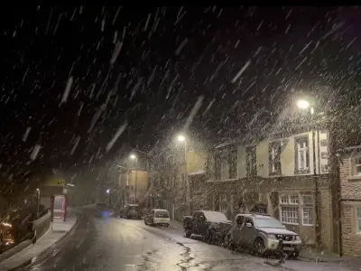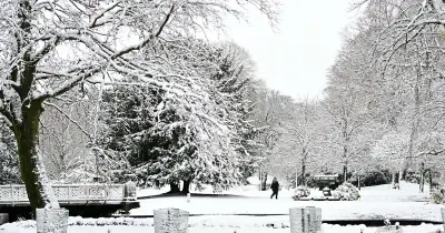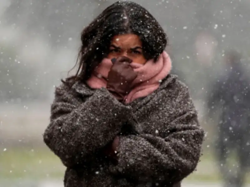
Britain is braced for another bone-chilling blast after the first big snow dump of the season saw winter roar back with a vengeance. The big freeze is set to tighten its grip later this week as icy air sweeps south, bringing widespread overnight frosts.
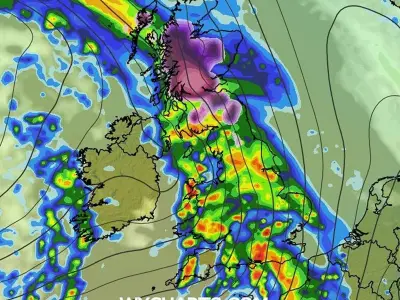
Brits face another soaking on Wednesday (November 18), with heavy showers and even thunder threatening parts of the country. It comes after commuters battled tricky conditions yesterday as the white stuff blanketed parts of northern Britain.
Snow warnings and travel disruption
The Met Office issued its first snow warning of the season, covering a huge swathe of the country from Staffordshire to south-west Scotland. Spadeadam, near Carlisle in Cumbria, was hit by 3cm of snow, while Tow Law in Co Durham was transformed into a winter wonderland.
Motorists were forced to scrape thick layers of snow off their windscreens before braving the morning rush. Forecasters had warned up to 15cm could fall on higher ground, with fierce 50mph gusts threatening to bring down tree branches and power lines.
Meanwhile, parts of the Midlands faced flooding misery, with two red flood warnings issued for Barbourne Brook in Worcester and Sandyford Brook in Stafford. The Environment Agency urged residents to “start acting on your flood plan if you have one”. Rail passengers also faced disruption after a fallen tree blocked tracks between Llandudno Junction and Holyhead in North Wales.
Coldest night and health alerts
The wintry wallop came after Britain’s coldest night of the season on Sunday, when temperatures plunged to -7.7C in the Scottish Highlands. Health chiefs have issued cold weather alerts across northern England until Thursday (November 19), warning vulnerable people could be at greater risk.
The UK Health Security Agency's yellow cold health alert has been put in place for the North West, North East and Yorkshire and the Humber. These alerts mean weather conditions could result in an increased use of healthcare services and a greater risk to life for vulnerable people, the agency said.
Outlook and advice
Forecasters say brighter skies should spread south by Friday, but the sunshine will come with a bitter sting as overnight frosts become more widespread. Met Office Chief Forecaster Dan Suri said: “Temperatures will be closer to average further south, before more settled conditions gradually develop here late this week.”
RAC breakdown spokeswoman Harriet Hernando said: “In snowy and icy conditions, it's best to stick to major roads rather than rural areas where surfaces may not be gritted, reduce speeds and leave plenty of space behind the vehicle in front to ensure you have more time to stop. Everyone should travel prepared in case they find themselves broken down at the side of the road: a blanket, warm waterproof coat and gloves, sturdy footwear and a charging cable and mobile power bank with a phone to be able to call for assistance.”