
Yellow weather warnings for snow and ice remain in place across parts of the UK as an Arctic maritime air mass brings colder conditions from northern Scotland southwards. The Met Office has warned of outbreaks of rain early on Friday, raising concerns about icy roads and potential travel disruption.
A specific yellow warning for snow and ice is active for Scotland from 4pm on Thursday until midday on Friday. Forecasters caution that snow showers and treacherous icy surfaces could lead to travel delays and a risk of slips and falls for pedestrians. By Friday morning, 1-2cm of snow is expected on low ground, with accumulations of 2-5cm on hills above 300 metres, and up to 10cm in some localised areas.
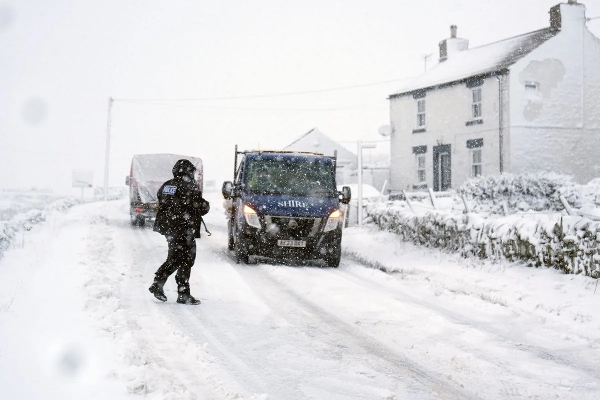
In northern England, a yellow warning for snow and ice has been issued from 7pm on Thursday until midday on Friday. Outbreaks of rain, sleet and snow are likely to cause icy surfaces and travel disruption. The weather is expected to remain cloudy and wet across the south on Friday, but should clear later in the day.

Forecaster Marco Petagna said: “We’ve got colder air starting to feed in from the north and that’s gradually going to push its way south across all parts for the next 24 hours or so. As the air sinks down from the north, we’re going to see outbreaks of rain, with some snow mainly on the hills, although across parts of Scotland, it’s quite low levels.” He added that there will likely be widespread frost on Friday night, but Saturday is expected to be the best day with plenty of sunshine, albeit with cooler than average temperatures.


