
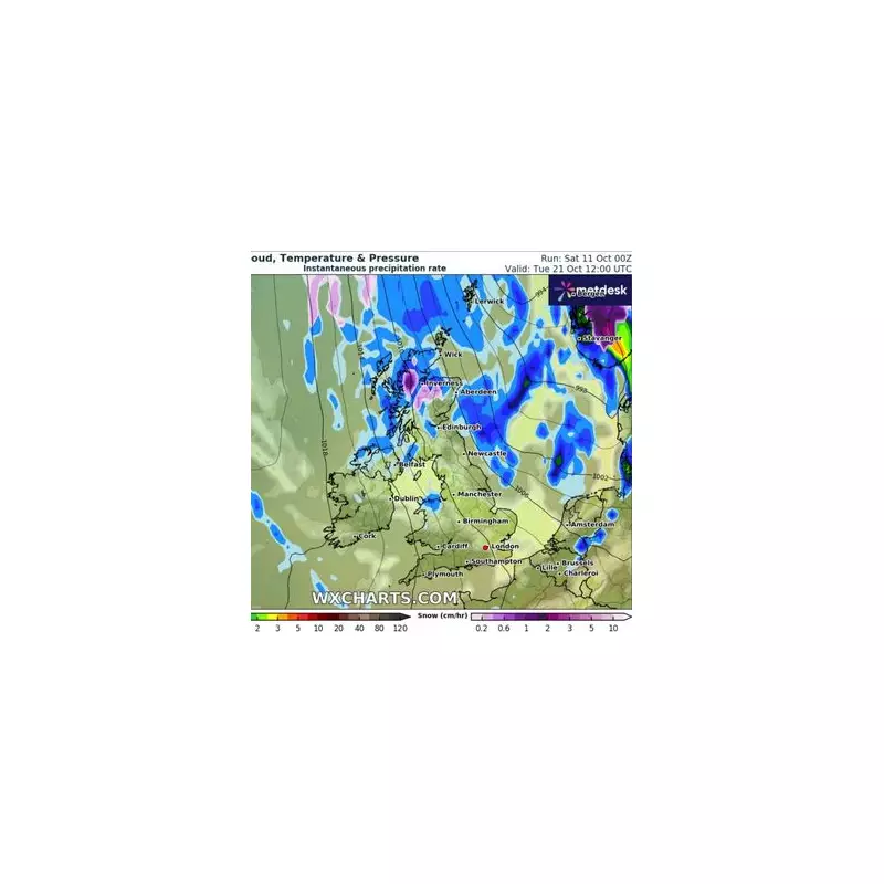
A dramatic cold snap is set to grip the nation this week, with forecasters predicting up to 7cm of snow that could cause widespread disruption across parts of the UK.
Arctic Air Mass Descends on Britain
The Met Office has issued yellow weather warnings as an Arctic air mass pushes southwards, bringing significantly colder conditions than recent weeks. Temperatures are expected to plummet below seasonal averages, with the mercury struggling to rise above freezing in many areas.
Regions on Snow Alert
Meteorologists have identified several regions at highest risk of substantial snowfall:

- Northern Scotland: Expected to bear the brunt with 5-7cm accumulation
- Higher ground in Wales: Up to 4cm possible
- Northern England: Localised snow showers developing
- Midlands: Potential for sleet and snow mixtures
Travel Warnings in Effect
Transport networks are preparing for potential disruption as the snow arrives. Motorists are being advised to exercise extreme caution, particularly on untreated roads and higher routes where icy patches may form rapidly.
"We're urging drivers to check the latest forecast and road conditions before setting out," stated a Highways England spokesperson. "Early morning commuters should allow extra time for their journeys and be prepared for changing conditions."
Longer Range Forecast
While the initial snow event is expected to clear by midweek, weather models suggest the cold pattern may persist, with further wintry showers possible, especially across northern and eastern coastal areas.
The sudden return to winter conditions comes as a shock to many after a relatively mild period, prompting authorities to issue advice for vulnerable households and reminding residents to prepare for potential heating system demands.


